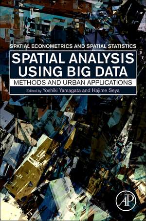
Spatial Analysis Using Big Data: Methods and Urban Applications
Editat de Yoshiki Yamagata, Hajime Seyaen Limba Engleză Paperback – 2 noi 2019
- Reviews some of the most powerful and challenging modern methods to study big data problems in spatial science
- Provides computer codes written in R, MATLAB and Python to help implement methods
- Applies these methods to common problems observed in urban and regional economics
Preț: 686.26 lei
Preț vechi: 938.75 lei
-27% Nou
Puncte Express: 1029
Preț estimativ în valută:
131.31€ • 137.11$ • 108.43£
131.31€ • 137.11$ • 108.43£
Carte tipărită la comandă
Livrare economică 08-22 aprilie
Preluare comenzi: 021 569.72.76
Specificații
ISBN-13: 9780128131275
ISBN-10: 0128131276
Pagini: 302
Dimensiuni: 152 x 229 mm
Greutate: 0.41 kg
Editura: ELSEVIER SCIENCE
ISBN-10: 0128131276
Pagini: 302
Dimensiuni: 152 x 229 mm
Greutate: 0.41 kg
Editura: ELSEVIER SCIENCE
Public țintă
Graduate and PhD students, and other early career researchers, who seek to conduct research on urban communities using spatial econometric methods, obviously including spatial statistics and spatial econometrics, but also GIS, computer science, environmental science, and transportationCuprins
Part 1. Introduction
Part 2. Methods for big spatial data analysis
1. Spatial statistics and data assimilation
2. Spatial and temporal statistical models
3. Spatial econometrics and social interaction models
4. Spatial clustering models
5. Complex network models
6. Spatial mobility data models
7. Land use and transport models
8. Land use scenario visualization tools
Part 3. Urban applications of big spatial data analysis
9. Surface temperature mapping for heat wave risk management
10. Spatial heat-wave assessments using Geo-tagged Twitter data
11. Assimilation of cell phone mobility data for agent based simulation
12. Spatial-social network analysis of the patent data
13. CO2 emission mapping using human sensor data
14. Optimal community clustering for sharing economy
15. View value analysis using 3D urban structure data
16. Big Spatial Data Analysis: case studies in New York
17. Big Spatial Data Analysis: case studies in London
