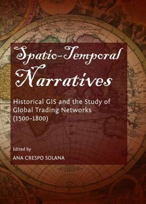
Spatio-Temporal Narratives: Historical GIS and the Study of Global Trading Networks (1500-1800)
Editat de Ana Crespo Solanaen Limba Engleză Hardback – 31 mar 2014
Preț: 459.08 lei
Nou
Puncte Express: 689
Preț estimativ în valută:
87.85€ • 90.63$ • 73.31£
87.85€ • 90.63$ • 73.31£
Carte indisponibilă temporar
Doresc să fiu notificat când acest titlu va fi disponibil:
Se trimite...
Preluare comenzi: 021 569.72.76
Specificații
ISBN-13: 9781443855426
ISBN-10: 1443855421
Pagini: 341
Dimensiuni: 147 x 206 x 33 mm
Greutate: 0.61 kg
Editura: Cambridge Scholars Publishing
ISBN-10: 1443855421
Pagini: 341
Dimensiuni: 147 x 206 x 33 mm
Greutate: 0.61 kg
Editura: Cambridge Scholars Publishing
Notă biografică
Ana Crespo Solana has a PhD in Geography and History and a Master's in Latinoamerican History, and is currently a Professor at the Consejo Superior de Investigaciones Cientificas (CSIC), in Spain, where she has worked since 2000. She has previously worked as a Research Fellow and Invited Lecturer at several universities and research centres in Spain, Belgium, Germany and the Netherlands. She has led several research projects on Atlantic economic and social history and on spatial humanities, for organisations including the European Science Foundation, the Spanish National Endowments for Humanities, and Marie Curie Actions, and is a member of several Editorial and Advisory Boards and scientific committees. She is the author of 8 books and over 70 essays and articles about Spanish colonial trade, merchant elites, European expansion in the Atlantic and GIS tools for the study of colonial trade with America.
