Cantitate/Preț
Produs

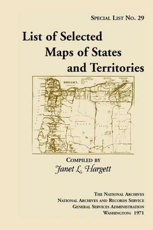
Special List 29: List of Selected Maps and States and Territories

Autor Janet L. Hargett
en Limba Engleză Paperback – 31 mar 2013
This long out of print finding aid to the collection of approximately 900 maps selected from the holdings of the Cartographic Archives Division of the National Archives. The maps date from the late 18th century to 1920. The list is intended generally for researchers who are seeking general maps of the States and Territories. For example: Entry 256: Map of Indiana and Illinois Territories, compiled from the best authorities for Governor Edwards of the Illinois Territory by R. Paul, 1815. Copy by James Kearney. Scale not indicated. 19 x 23 1/2. Manuscript. Indian villages, rivers, military posts, towns, and General Scott and Governor Edwards traces. Filed as RG 77: US 33-2.
Citește tot Restrânge

Preț: 9681 lei

Nou

Puncte Express: 145

Preț estimativ în valută:
1853 1967$ 1535£

Carte tipărită la comandă

Livrare economică 25 decembrie 24 - 08 ianuarie 25

Preluare comenzi: 021 569.72.76

Specificații

ISBN-13: 9781888265163
ISBN-10: 1888265167
Pagini: 124
Dimensiuni: 152 x 229 x 7 mm
Greutate: 0.18 kg
Editura: HERITAGE BOOKS