Cantitate/Preț
Produs

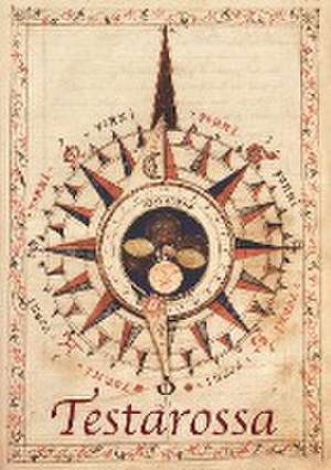
TESTAROSSA Mid-Sixteenth Century Maps From The Archives at The Royal Geographical Society.


en Limba Engleză Paperback – 16 noi 2016
In the latter years of Queen Mary's short and turbulent reign in the mid-sixteenth century, England was still on the cusp of acquiring the reputation as a great sea faring nation that would come in the Elizabethan era. Into the hotbed of religious and political turmoil that was England at this time came a gentleman of possibly Italian lineage. How he came to be in London and for what reason he produced this work, we are not sure. What we do know however, is that he created a visually stunning and technically brilliant navigation manual of which we believe this to be the only version in existence.A fascinating insight into the perspective of the physical world at that time, the manuscript has been analysed and a commentary produced in both English and Italian, by Richard Pflederer, Fellow of the RGS-IBG, and a worldwide authority on portolan charts and navigational science. Produced in full colour, this reproduction is a 'must-have' for anyone interested in the study of navigational history or simply for the lay person as a beautifully produced window into times past.As Francis Herbert, former Curator of Maps at the RGS-IBG and under whose aegis this facsimile was created, comments; 'a long way from one handwritten work of 1557, to a scanned copy available to all in 2007'.
Citește tot Restrânge

Preț: 34747 lei

Nou

Puncte Express: 521

Preț estimativ în valută:
6652 6914$ 5515£

Carte tipărită la comandă

Livrare economică 06-20 februarie 25

Preluare comenzi: 021 569.72.76

Specificații

ISBN-13: 9781905748587
ISBN-10: 1905748582
Pagini: 146
Dimensiuni: 210 x 297 x 10 mm
Greutate: 0.58 kg
Editura: NAVAL & MILITARY PRESS
Locul publicării:United Kingdom