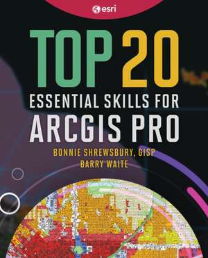
Top 20 Essential Skills for ArcGIS Pro: Top 20 Essential Skills
Autor Bonnie Shrewsbury, Barry Waiteen Limba Engleză Paperback – 5 sep 2023
With its location data advantage, geographic information systems (GIS) software is a tool to help with key projects, decisions, and problems. But how do you start using GIS on your projects? If you need a fast track to use this valuable tool, learn and get experience with Top 20 Essential Skills for ArcGIS Pro. With this book, you can start using ArcGIS Pro quickly and successfully.
- Written for ArcGIS Pro, Esri's powerful desktop GIS application
- Easy to understand, step-by-step exercises
- Conversational, upbeat language with lots of illustrations and tips
- Interesting user stories covering how GIS is applied in many situations
- Exercises for working with spatial data, creating maps, and doing basic analysis
Bonnie Shrewsbury, MA, GISP, is the GIS manager for the City of Manhattan Beach, California. She has more than 26 years of experience in GIS, including 16 years of co-teaching a GIS course with her coauthor at the University of Southern California (USC) for graduate-level planning and public policy students.
Barry Waite has almost 40 years of local government experience as an administrator and city planner. He has a master¿s degree in public administration from the University of Southern California where he teaches GIS with Bonnie. He is also a city council member for the City of Lomita, California.
Preț: 240.59 lei
Preț vechi: 300.73 lei
-20% Nou
Puncte Express: 361
Preț estimativ în valută:
46.04€ • 48.19$ • 38.09£
46.04€ • 48.19$ • 38.09£
Carte disponibilă
Livrare economică 17-31 martie
Livrare express 28 februarie-06 martie pentru 28.39 lei
Preluare comenzi: 021 569.72.76
Specificații
ISBN-13: 9781589487505
ISBN-10: 1589487508
Pagini: 240
Dimensiuni: 186 x 233 x 13 mm
Greutate: 0.43 kg
Editura: Esri Press
Seria Top 20 Essential Skills
ISBN-10: 1589487508
Pagini: 240
Dimensiuni: 186 x 233 x 13 mm
Greutate: 0.43 kg
Editura: Esri Press
Seria Top 20 Essential Skills
Cuprins
Chapter 1: Exploring the ArcGIS Pro interface
Chapter 2: Creating reference maps and layouts
Chapter 3: Preparing your data
Chapter 4: Joining tables to GIS data
Chapter 5: Creating thematic maps
Chapter 6: Geocoding
Chapter 7: Creating categorical maps
Chapter 8: Working with data tables
Chapter 9: Enriching your data
Chapter 10: Mapping x,y coordinate data
Chapter 11: Editing feature data
Chapter 12: Performing data queries
Chapter 13: Performing location queries
Chapter 14: Using geoprocessing tools
Chapter 15: Creating geodatabases
Chapter 16: Joining features
Chapter 17: Working with imagery
Chapter 18: Using 3D data
Chapter 19: Adding a table and chart to a layout
Chapter 20: Sharing your work
Chapter 21: Publishing your work (bonus skill)


