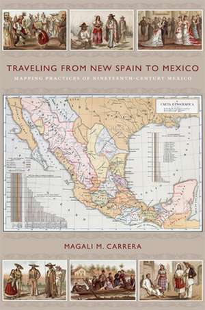
Traveling from New Spain to Mexico – Mapping Practices of Nineteenth–Century Mexico
Autor Magali M. Carreraen Limba Engleză Paperback – 2 iun 2011
Preț: 301.20 lei
Nou
Puncte Express: 452
Preț estimativ în valută:
57.64€ • 60.33$ • 47.97£
57.64€ • 60.33$ • 47.97£
Carte tipărită la comandă
Livrare economică 31 martie-14 aprilie
Preluare comenzi: 021 569.72.76
Specificații
ISBN-13: 9780822349914
ISBN-10: 0822349914
Pagini: 352
Ilustrații: 91 illustrations
Dimensiuni: 155 x 233 x 23 mm
Greutate: 0.5 kg
Editura: MD – Duke University Press
ISBN-10: 0822349914
Pagini: 352
Ilustrații: 91 illustrations
Dimensiuni: 155 x 233 x 23 mm
Greutate: 0.5 kg
Editura: MD – Duke University Press
Cuprins
List of Illustrations ix
Preface xiii
Acknowledgments xix
Introduction: Research and Theoretical Perspectives 1
1. Making the Invisible Visible 19
2. Locating New Spain: Spanish Mappings 39
3. Touring Mexico: A Journey to the Land of the Aztecs 63
4. Imagining the Nation and Forging the State: Mexican Nationalist Imagery¿1810¿1860 109
5. Finding Mexico: The García Cubas Projects¿1850¿1880 144
6. Traveling from New Spain to Mexicö1880¿1911 184
7. Performing the Nation 232
Notes 245
Bibliography 277
Index 317
Recenzii
In this original, theoretically sophisticated, and empirically rich book, Magali M. Carrera situates Mexican art and cartography in national and international contexts, gives the mapmaker Antonio García Cubas the scholarly attention he has long deserved, and connects his projects not only to nineteenth-century visual culture but also to colonial visual culture and travel narratives from the early independence era. It is a superb book, one that scholars of Mexican and Latin American history, art history, visual culture, and cultural studies will read and admire for years to come. Raymond B. Craib, author of Cartographic Mexico: A History of State Fixations and Fugitive LandscapesTraveling from New Spain to Mexico is an important book. It is distinctive in that it situates what we traditionally recognize as cartography in relation to post-independence Mexicos broader visual culture, patriotic and geographic literature, and even oratory. In addition, Magali M. Carrera grounds the work of late nineteenth-century historians and geographers in the colonial experience of New Spain, allowing us to see how visual tropes changed across several centuries and in response to Mexicos independence and early national experience. James R. Akerman, editor of Imperial Map: Cartography and the Mastery of Empire
Notă biografică
Descriere
The role of mapmaking in the construction of Mexican national identity


