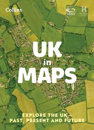
UK in Maps: Collins Primary Atlases
Autor Stephen Scoffhamen Limba Engleză Paperback – 2 iun 2023
Preț: 44.99 lei
Preț vechi: 51.49 lei
-13% Nou
Puncte Express: 67
Preț estimativ în valută:
8.61€ • 8.97$ • 7.13£
8.61€ • 8.97$ • 7.13£
Carte nepublicată încă
Doresc să fiu notificat când acest titlu va fi disponibil:
Se trimite...
Preluare comenzi: 021 569.72.76
Specificații
ISBN-13: 9780008556488
ISBN-10: 0008556482
Pagini: 56
Dimensiuni: 85 x 319 x 30 mm
Greutate: 0.24 kg
Ediția:3rd edition
Editura: Harpercollins
Seria Collins Primary Atlases
ISBN-10: 0008556482
Pagini: 56
Dimensiuni: 85 x 319 x 30 mm
Greutate: 0.24 kg
Ediția:3rd edition
Editura: Harpercollins
Seria Collins Primary Atlases
Descriere
The must-have thematic atlas for KS2 and beyond
Bring geography, history and the environment together with this thematic UK atlas suitable for Key Stage 2 and lower Key Stage 3.
Fully up-to-date and endorsed by the Geographical and Historical Associations, it helps children to understand how things came to be, as well as how they might change in years to come.
UK in Maps investigates themes with a focus on environmental issues, energy, transport, farming and tourism and includes reference maps for all the different regions of the UK.
Ideal for classroom use and home learning, it provides opportunities for pupils to conduct their own enquiries and explore maths in context using maps, satellite images, diagrams, charts and photographs.

