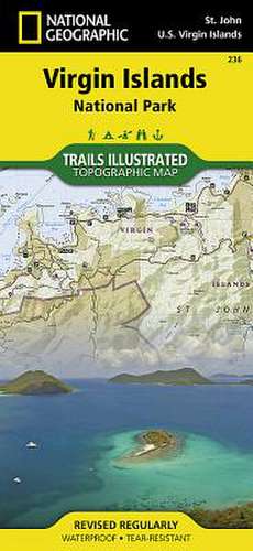
Virgin Islands National Park: Trails Illustrated National Parks
Autor National Geographic Mapsen Limba Engleză Sheet map, folded – 2 aug 2012
Preț: 69.14 lei
Nou
Puncte Express: 104
Preț estimativ în valută:
13.23€ • 13.84$ • 10.99£
13.23€ • 13.84$ • 10.99£
Disponibil
Livrare economică 12-26 martie
Preluare comenzi: 021 569.72.76
Specificații
ISBN-13: 9781566953467
ISBN-10: 1566953464
Pagini: 1
Dimensiuni: 108 x 235 x 10 mm
Greutate: 0.09 kg
Editura: National Geographic Maps Division
Colecția National Geographic Maps Division
Locul publicării:Washington, United States
ISBN-10: 1566953464
Pagini: 1
Dimensiuni: 108 x 235 x 10 mm
Greutate: 0.09 kg
Editura: National Geographic Maps Division
Colecția National Geographic Maps Division
Locul publicării:Washington, United States


