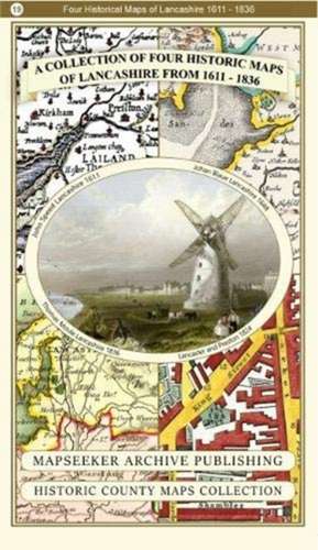
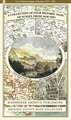
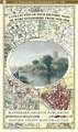
A Lancashire 1611 - 1836 - Fold Up Map that features a collection of Four Historic Maps, John Speed's County Map 1611, Johan Blaeu's County Map of 1648, Thomas Moules County Map of 1836 and a Plan of Lancaster and Preston from 1824. The maps also feature early Victorian views around Liverpool as well as Manchester and Blackpool.: Historic English Counties Collection
en Limba Engleză Paperback – 12 dec 2018
Preț: 132.31 lei
Nou
Puncte Express: 198
Preț estimativ în valută:
25.33€ • 27.52$ • 21.29£
25.33€ • 27.52$ • 21.29£
Carte disponibilă
Livrare economică 31 martie-14 aprilie
Livrare express 15-21 martie pentru 14.20 lei
Preluare comenzi: 021 569.72.76
Specificații
ISBN-13: 9781844918478
ISBN-10: 1844918475
Pagini: 1
Dimensiuni: 227 x 140 x 47 mm
Greutate: 0.1 kg
Editura: Historical Images Ltd
Colecția Historic English Counties Collection
Seria Historic English Counties Collection
ISBN-10: 1844918475
Pagini: 1
Dimensiuni: 227 x 140 x 47 mm
Greutate: 0.1 kg
Editura: Historical Images Ltd
Colecția Historic English Counties Collection
Seria Historic English Counties Collection