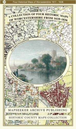
Worcestershire 1610 - 1836 - Fold Up Map that features a collection of Four Historic Maps, John Speed's County Map 1610, Johan Blaeu's County Map of 1648, Thomas Moules County Map of 1836 and Cole and Roper's Plan of the City of Worcester 1805. The map's also features early Victorian views from around Worcestershire.: Historic English Counties Collection
en Limba Engleză Paperback – 20 dec 2018
Preț: 132.34 lei
Nou
Puncte Express: 199
Preț estimativ în valută:
25.33€ • 27.52$ • 21.29£
25.33€ • 27.52$ • 21.29£
Carte disponibilă
Livrare economică 31 martie-14 aprilie
Livrare express 15-21 martie pentru 14.28 lei
Preluare comenzi: 021 569.72.76
Specificații
ISBN-13: 9781844918331
ISBN-10: 1844918335
Pagini: 1
Dimensiuni: 229 x 137 x 53 mm
Greutate: 0.1 kg
Editura: Historical Images Ltd
Colecția Historic English Counties Collection
Seria Historic English Counties Collection
ISBN-10: 1844918335
Pagini: 1
Dimensiuni: 229 x 137 x 53 mm
Greutate: 0.1 kg
Editura: Historical Images Ltd
Colecția Historic English Counties Collection
Seria Historic English Counties Collection


