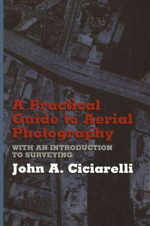
A Practical Guide to Aerial Photography with an Introduction to Surveying
Autor J.A. Ciciarellien Limba Engleză Paperback – 13 mar 2012
Preț: 386.39 lei
Nou
Puncte Express: 580
Preț estimativ în valută:
73.94€ • 80.56$ • 62.30£
73.94€ • 80.56$ • 62.30£
Carte tipărită la comandă
Livrare economică 23 aprilie-07 mai
Preluare comenzi: 021 569.72.76
Specificații
ISBN-13: 9781468465051
ISBN-10: 1468465058
Pagini: 280
Ilustrații: 176 p.
Dimensiuni: 152 x 229 x 15 mm
Greutate: 0.38 kg
Ediția:Softcover reprint of the original 1st ed. 1991
Editura: Springer Us
Colecția Springer
Locul publicării:New York, NY, United States
ISBN-10: 1468465058
Pagini: 280
Ilustrații: 176 p.
Dimensiuni: 152 x 229 x 15 mm
Greutate: 0.38 kg
Ediția:Softcover reprint of the original 1st ed. 1991
Editura: Springer Us
Colecția Springer
Locul publicării:New York, NY, United States
Public țintă
ResearchCuprins
1. Trigonometry.- Angles and their Measurement.- Trigonometric Functions.- Using Tables of Trigonometric Functions.- Solution of Right Triangles.- Solution of Oblique Triangles.- “3, 4, 5” Triangles.- Computer Solution of Triangles.- 2. Some Practical Area and Volume Considerations.- Areas of Regular Figures.- Areas of Irregular Figures.- Areas of Circles and Circular Dimensions.- Areas with Curved or Irregular Boundaries.- Volume Calculations.- Areas and Volumes on the Computer.- 3. Surveying Accuracy and Precision.- Accuracy versus Precision.- Gauging Accuracy in Horizontal, Vertical, and Angular Measurements.- Techniques for Increasing Accuracy.- 4. Some Fundamentals of Photogrammetry.- Types of Aerial Photography.- Availability of Aerial Photographs.- Measurements on a Single Vertical Aerial Photograph.- Geometry and Viewing of Stereoscopic Pairs.- Vertical Measurements by the Parallax Method.- 5. Aerial Photography as a Surveying Tool.- Map Scale and North Direction.- Transferring Photographic Data to Planimetric Maps.- Other Uses of Aerial Photographs.- 6. Using Your Own Aerial Photography.- Photographs from Commercial Aerial Surveys.- Taking your own Photographs.- Aerial Photographs with a Hand-Held Camera.- Working with Oblique Aerial Photography.- 7. Some Fundamentals of Surveying.- Distance Measurements.- Angle Measurements.- Leveling.- 8. Project Layout and Planning.- Locating a Structure on a Plot.- Squaring up and Checking Foundation Layouts.- Establishing Elevations and Preserving Corner Locations.- Earthwork.- Route Surveys.- Layout of Curves.- 9. Map Surveying.- Control.- Planimetric Mapping.- Topographic Mapping.- Profiles from Topographic Maps.- Uses of Contour Lines.- Appendix A.- Table A-1. Natural Sines and Cosines.- Table A-2. Natural Tangentsand Cotangents.- Table A-3. Stadia Reduction Tables.- Table A-4. Tangents and External Distances for Circular Curves.- Table A-5. Direction of Angle a and Distance r from PI to First (or Third) Quarter Point of a Circular Curve.- Appendix B.- Instructions for Using Computer Programs.- Appendix C.- Trigonometric Formulae (Right Triangles).- Trigonometric Formulae (Oblique Triangles).- Appendix D.- Table D-1. Converting Inches into Decimals of a Foot.- Table D-2. Minutes of Arc in Decimals of a Degree.- Table D-3. Decimal Equivalents of Inch Fractions.- Table D-4. Ground Distances at Various Map Scales.- Table D-5. Conversion Factors.- Appendix E.- 1. Geometric Field Constructions.- 2. Some Additional Field Techniques with a Transit.- Appendix F.- True North Versus Magnetic North.- Useful References.


