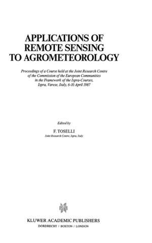
Applications of Remote Sensing to Agrometeorology: Proceedings of a Course held at the Joint Research Centre of the Commission of the European Communities in the Framework of the Ispra-Courses, Ispra, Varese, Italy, 6–10 April 1987: Ispra Courses
Editat de F. Tosellien Limba Engleză Hardback – 31 dec 1988
| Toate formatele și edițiile | Preț | Express |
|---|---|---|
| Paperback (1) | 1218.69 lei 6-8 săpt. | |
| SPRINGER NETHERLANDS – 5 oct 2011 | 1218.69 lei 6-8 săpt. | |
| Hardback (1) | 1224.68 lei 6-8 săpt. | |
| SPRINGER NETHERLANDS – 31 dec 1988 | 1224.68 lei 6-8 săpt. |
Din seria Ispra Courses
- 18%
 Preț: 1224.06 lei
 - 18%
 Preț: 952.57 lei
 - 18%
 Preț: 1233.83 lei
 - 18%
 Preț: 1233.20 lei
 - 18%
 Preț: 1230.66 lei
 -
 Preț: 406.25 lei
 - 20%
 Preț: 332.39 lei
 - 20%
 Preț: 335.69 lei
 -
 Preț: 394.87 lei
 -
 Preț: 402.17 lei
 -
 Preț: 400.85 lei
 -
 Preț: 395.25 lei
 - 18%
 Preț: 1228.62 lei
 - 18%
 Preț: 1228.15 lei
 - 18%
 Preț: 1835.53 lei
 - 18%
 Preț: 1225.94 lei
 - 15%
 Preț: 641.71 lei
Preț: 1224.68 lei
Preț vechi: 1493.51 lei
-18% Nou
Puncte Express: 1837
Preț estimativ în valută:
234.35€ • 245.29$ • 195.05£
234.35€ • 245.29$ • 195.05£
Carte tipărită la comandă
Livrare economică 31 martie-14 aprilie
Preluare comenzi: 021 569.72.76
Specificații
ISBN-13: 9780792300205
ISBN-10: 0792300203
Pagini: 326
Ilustrații: VIII, 326 p.
Dimensiuni: 155 x 235 x 19 mm
Greutate: 0.64 kg
Ediția:1989
Editura: SPRINGER NETHERLANDS
Colecția Springer
Seria Ispra Courses
Locul publicării:Dordrecht, Netherlands
ISBN-10: 0792300203
Pagini: 326
Ilustrații: VIII, 326 p.
Dimensiuni: 155 x 235 x 19 mm
Greutate: 0.64 kg
Ediția:1989
Editura: SPRINGER NETHERLANDS
Colecția Springer
Seria Ispra Courses
Locul publicării:Dordrecht, Netherlands
Public țintă
ResearchCuprins
Fundamentals of Remote Sensing.- Sensors.- Platforms.- The Luxuriant Image — An Introduction to Remote Sensing Data Processing.- Image Processing Techniques: Filtering, Exogenous Data, Geometrical Processing.- Imaging Radar Fundamentals.- Radar Post-Processing.- Extraction of Surface Temperature from Satellite Data.- Use of Surface Temperature in Agrometeorology.- Radiation Budget at the Ground from Satellite Data.- Microwave Remote Sensing of Soil Moisture.- The Vegetation Index and the Study of Vegetation Dynamics.- Satellite Remote Sensing of Rainfall.


