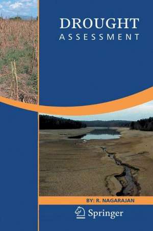
Drought Assessment
Autor R. Nagarajanen Limba Engleză Paperback – 4 dec 2014
The readers would gain complete knowledge on drought. This book is expected to act as a guide in preparing people as effective natural resource utilizationist under drought situations.
| Toate formatele și edițiile | Preț | Express |
|---|---|---|
| Paperback (1) | 951.47 lei 6-8 săpt. | |
| SPRINGER NETHERLANDS – 4 dec 2014 | 951.47 lei 6-8 săpt. | |
| Hardback (1) | 961.23 lei 6-8 săpt. | |
| SPRINGER NETHERLANDS – 6 oct 2009 | 961.23 lei 6-8 săpt. |
Preț: 951.47 lei
Preț vechi: 1160.32 lei
-18% Nou
Puncte Express: 1427
Preț estimativ în valută:
182.07€ • 190.57$ • 151.53£
182.07€ • 190.57$ • 151.53£
Carte tipărită la comandă
Livrare economică 31 martie-14 aprilie
Preluare comenzi: 021 569.72.76
Specificații
ISBN-13: 9789400789920
ISBN-10: 9400789920
Pagini: 444
Ilustrații: XI, 429 p.
Dimensiuni: 155 x 235 x 23 mm
Greutate: 0.62 kg
Ediția:2010
Editura: SPRINGER NETHERLANDS
Colecția Springer
Locul publicării:Dordrecht, Netherlands
ISBN-10: 9400789920
Pagini: 444
Ilustrații: XI, 429 p.
Dimensiuni: 155 x 235 x 23 mm
Greutate: 0.62 kg
Ediția:2010
Editura: SPRINGER NETHERLANDS
Colecția Springer
Locul publicării:Dordrecht, Netherlands
Public țintă
ResearchCuprins
Meteorology.- Water Resources.- Agriculture.- Drought Indices.- Satellite Remote Sensing.- Spatial Data and Geographical Information System.- Vulnerability Assessment.- Resources, Drought Events and Management Profile of Countries.


