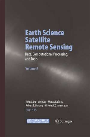
Earth Science Satellite Remote Sensing: Vol.2: Data, Computational Processing, and Tools
Editat de John J. Qu, Wei Gao, Menas Kafatos, Robert E. Murphy, Vincent V. Salomonsonen Limba Engleză Paperback – 27 noi 2014
| Toate formatele și edițiile | Preț | Express |
|---|---|---|
| Paperback (2) | 1219.77 lei 6-8 săpt. | |
| Springer Berlin, Heidelberg – 27 noi 2014 | 1219.77 lei 6-8 săpt. | |
| Springer Berlin, Heidelberg – 27 noi 2014 | 1223.74 lei 6-8 săpt. | |
| Hardback (2) | 1224.54 lei 6-8 săpt. | |
| Springer Berlin, Heidelberg – 19 ian 2007 | 1224.54 lei 6-8 săpt. | |
| Springer Berlin, Heidelberg – 19 ian 2007 | 1228.62 lei 6-8 săpt. |
Preț: 1219.77 lei
Preț vechi: 1487.54 lei
-18% Nou
Puncte Express: 1830
Preț estimativ în valută:
233.43€ • 253.47$ • 196.08£
233.43€ • 253.47$ • 196.08£
Carte tipărită la comandă
Livrare economică 22 aprilie-06 mai
Preluare comenzi: 021 569.72.76
Specificații
ISBN-13: 9783642421556
ISBN-10: 3642421555
Pagini: 360
Ilustrații: XXIII, 335 p.
Dimensiuni: 155 x 235 x 19 mm
Greutate: 0.5 kg
Ediția:2006
Editura: Springer Berlin, Heidelberg
Colecția Springer
Locul publicării:Berlin, Heidelberg, Germany
ISBN-10: 3642421555
Pagini: 360
Ilustrații: XXIII, 335 p.
Dimensiuni: 155 x 235 x 19 mm
Greutate: 0.5 kg
Ediția:2006
Editura: Springer Berlin, Heidelberg
Colecția Springer
Locul publicării:Berlin, Heidelberg, Germany
Public țintă
ResearchCuprins
to Data, Computational Processing, and Tools of Satellite Remote Sensing.- Earth Science Satellite Remote Sensing Data from the EOS Data and Information System.- Remotely Sensed Data Available from the US Geological Survey EROS Data Center.- NASA Direct Readout for Its Polar Orbiting Satellites.- MODIS Calibration and Characterization.- Use of the Moon for Calibration and Characterization of MODIS, SeaWiFS, and VIRS.- A Review of Remote Sensing Data Formats for Earth System Observations.- A Simple, Scalable, Script-Based Science Processor.- The MODIS Reprojection Tool.- A Tool for Conversion of Earth Observing System Data Products to GIS Compatible Formats and for the Provision of Post-Processing Functionality.- HDFLook—Multifunctional HDF-EOS Tool for MODIS and AIRS Data Processing at GES DISC DAAC.- Tropical Rainfall Measuring Mission Data and Access Tools.- The Open GIS Web Service Specifications for Interoperable Access and Services of NASA EOS Data.- Global MODIS Remote Sensing Data for Local Usage: Vaccess/MAGIC.- The NASA HDF-EOS Web GIS Software Suite.- Network Geographic Information System.- A Content-Based Search Method and Its Application for EOS.- The Impact of Precipitation and Temperature on Net Primary Productivity in Xinjiang, China from 1981 to 2000.
Caracteristici
Provides information on the Earth science remote sensing data information and data format such as HDF-EOS, and tools Evaluates the current data processing approaches Introduces data searching and ordering from different public domains Explores the remote sensing and GIS migration products and WebGIS applications Quality full color illustrations
