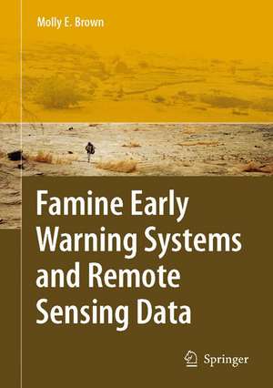
Famine Early Warning Systems and Remote Sensing Data
Autor Molly E. Brownen Limba Engleză Hardback – 21 mai 2008
| Toate formatele și edițiile | Preț | Express |
|---|---|---|
| Paperback (1) | 946.24 lei 6-8 săpt. | |
| Springer Berlin, Heidelberg – 19 oct 2010 | 946.24 lei 6-8 săpt. | |
| Hardback (1) | 952.26 lei 6-8 săpt. | |
| Springer Berlin, Heidelberg – 21 mai 2008 | 952.26 lei 6-8 săpt. |
Preț: 952.26 lei
Preț vechi: 1161.29 lei
-18% Nou
Puncte Express: 1428
Preț estimativ în valută:
182.24€ • 189.56$ • 150.45£
182.24€ • 189.56$ • 150.45£
Carte tipărită la comandă
Livrare economică 12-26 aprilie
Preluare comenzi: 021 569.72.76
Specificații
ISBN-13: 9783540753674
ISBN-10: 3540753672
Pagini: 332
Ilustrații: XVIII, 314 p.
Dimensiuni: 155 x 235 x 22 mm
Greutate: 0.64 kg
Ediția:2008
Editura: Springer Berlin, Heidelberg
Colecția Springer
Locul publicării:Berlin, Heidelberg, Germany
ISBN-10: 3540753672
Pagini: 332
Ilustrații: XVIII, 314 p.
Dimensiuni: 155 x 235 x 22 mm
Greutate: 0.64 kg
Ediția:2008
Editura: Springer Berlin, Heidelberg
Colecția Springer
Locul publicării:Berlin, Heidelberg, Germany
Public țintă
ResearchCuprins
Background.- Conceptual Frameworks.- FEWS NET’s Structure and Remote Sensing.- Remote Sensing for Early Warning.- Rainfall Estimates.- Derived Agricultural and Climate Monitoring Products.- Vegetation Index Measurements.- Climate Forecasts.- Food Security Analysis.- FEWS NET’s Integrated Analytical Areas.- Dynamic Communication and Decision Support.- Use of Remote Sensing in FEWS NET Country and Regional Offices.- Population Datasets.- Food Markets and Prices.- Scenario Development and Contingency Planning.- Case Studies.- Case Study: Ethiopia and the 2002–2003 Food Security Crisis.- Remote Sensing Data in the Mesoamerican Food Security Early Warning System (MFEWS).- Zimbabwe’s Crisis of 2006–2007.- Analysis and the Future.- Power, Politics and Remote Sensing.- The Future of FEWS NET.
Notă biografică
Molly E. Brown received a master’s of arts degree in 1998 and a doctor of philosophy in the summer of 2002 from the Department of Geography, University of Maryland at College Park. She has worked with the GIMMS group at NASA’s Goddard Space Flight Center since 1997, primarily on developing and using a stable, 25-year, 8km vegetation record from the NOAA-AVHRR series of instruments. Using these satellite data to investigate questions of climate, land use, and human-environmental interaction has been the main focus of her work.
Caracteristici
Truly interdisciplinary in that it describes both the remote sensing applications and socio-economic methodologies of early warning systems Brings the work of USAID's Famine Early Warning Systems Network (FEWS NET) into the public domain Suitable for course use by students and scholars


