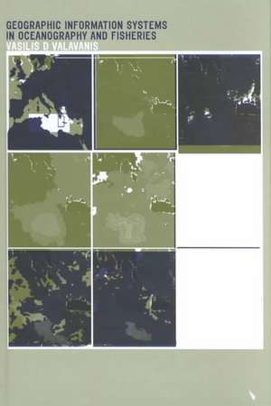
Geographic Information Systems in Oceanography and Fisheries
Autor Vasilis D. Valavanisen Limba Engleză Hardback – 23 mai 2002
This book is divided into four parts. The first gives an overview of marine GIS, including conceptual issues on marine spatial thinking and models of marine GIS development. The second and third parts examine the main sampling methods and online sources of spatially referenced data, and discuss application examples and innovative approaches in GIS developments for many oceanographic and fisheries tasks. The fourth part presents GIS technical issues by listing marine GIS routines for a wide array of GIS tasks.
Anyone with interests in marine GIS development, physical and biological oceanography, fisheries and information based proposals for ocean and fisheries resource management will find this book useful.
| Toate formatele și edițiile | Preț | Express |
|---|---|---|
| Paperback (1) | 488.80 lei 6-8 săpt. | |
| CRC Press – 18 oct 2019 | 488.80 lei 6-8 săpt. | |
| Hardback (1) | 950.92 lei 6-8 săpt. | |
| CRC Press – 23 mai 2002 | 950.92 lei 6-8 săpt. |
Preț: 950.92 lei
Preț vechi: 1159.66 lei
-18% Nou
Puncte Express: 1426
Preț estimativ în valută:
181.95€ • 190.49$ • 150.56£
181.95€ • 190.49$ • 150.56£
Carte tipărită la comandă
Livrare economică 05-19 aprilie
Preluare comenzi: 021 569.72.76
Specificații
ISBN-13: 9780415284639
ISBN-10: 0415284635
Pagini: 246
Dimensiuni: 156 x 234 x 16 mm
Greutate: 0.6 kg
Ediția:1
Editura: CRC Press
Colecția CRC Press
Locul publicării:Boca Raton, United States
ISBN-10: 0415284635
Pagini: 246
Dimensiuni: 156 x 234 x 16 mm
Greutate: 0.6 kg
Ediția:1
Editura: CRC Press
Colecția CRC Press
Locul publicării:Boca Raton, United States
Public țintă
Academic and Professional Practice & DevelopmentCuprins
Marine geographic information systems. GIS and oceanography. GIS and fisheries. Instead of an epilogue.
Notă biografică
Vasilis Valavanis is a researcher at the Institute of Marine Biology of Crete (IMBC), Greece. His background is in Biological Conservation, GIS, and Remote Sensing through a multidisciplinary curriculum at the Departments of Geography, Ocean Engineering, Fisheries and Aquaculture, Forestry, and Zoology at the University of Florida, USA. He has participated in projects funded by the European Commission and the Greek Government on GIS developments in fisheries research, monitoring of algal blooms, mapping of benthic habitats, extraction of oceanographic features from marine EO data, and use of EO data to the seasonal mapping of species population dynamics.
Descriere
Geographic Information Systems in Oceanography and Fisheries provides a thorough examination of marine GIS applications that include a high variety of methods and sophisticated approaches in coastal, continental shelf, and deep ocean studies. It presents new innovative approaches of using GIS in the examination of the dynamic relations that characterize the marine world, including marine GIS macro routines for the development of Oceanography and Fisheries GIS tools and applications. Some application examples include: the mapping of fish production data (catch and landings); the identification of essential fish habitats; and the mapping of species migration corridors.
