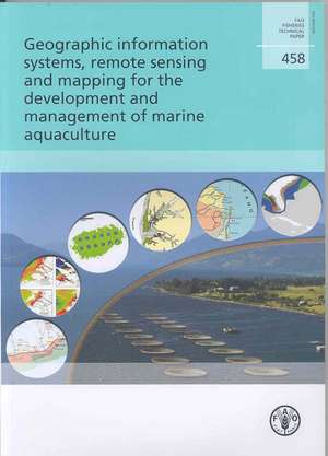
Geographic Information Systems, Remote Sensing and Mapping for the Development and Management of Marine Aquaculture: Fao Fisheries and Aquaculture Technical Papers
Autor Food and Agriculture Organization of theen Limba Engleză Paperback – 31 ian 2007
Din seria Fao Fisheries and Aquaculture Technical Papers
-
 Preț: 312.00 lei
 - 19%
 Preț: 330.19 lei
 - 16%
 Preț: 113.74 lei
 -
 Preț: 109.77 lei
 - 16%
 Preț: 169.23 lei
 - 13%
 Preț: 133.48 lei
 - 11%
 Preț: 355.01 lei
 - 30%
 Preț: 433.95 lei
 -
 Preț: 107.28 lei
 - 24%
 Preț: 148.88 lei
 - 12%
 Preț: 101.87 lei
 - 13%
 Preț: 226.41 lei
 - 12%
 Preț: 304.91 lei
 - 18%
 Preț: 241.90 lei
 - 15%
 Preț: 106.03 lei
 - 21%
 Preț: 124.32 lei
 -
 Preț: 270.29 lei
 - 19%
 Preț: 181.31 lei
 - 17%
 Preț: 288.18 lei
 - 16%
 Preț: 256.45 lei
 - 18%
 Preț: 173.89 lei
 - 18%
 Preț: 97.34 lei
Preț: 233.30 lei
Nou
Puncte Express: 350
Preț estimativ în valută:
44.64€ • 46.73$ • 37.16£
44.64€ • 46.73$ • 37.16£
Comandă specială
Livrare economică 10-24 martie
Doresc să fiu notificat când acest titlu va fi disponibil:
Se trimite...
Preluare comenzi: 021 569.72.76
Specificații
ISBN-13: 9789251056462
ISBN-10: 9251056463
Pagini: 138
Dimensiuni: 203 x 290 x 5 mm
Greutate: 0.25 kg
Editura: Fao
Seria Fao Fisheries and Aquaculture Technical Papers
ISBN-10: 9251056463
Pagini: 138
Dimensiuni: 203 x 290 x 5 mm
Greutate: 0.25 kg
Editura: Fao
Seria Fao Fisheries and Aquaculture Technical Papers