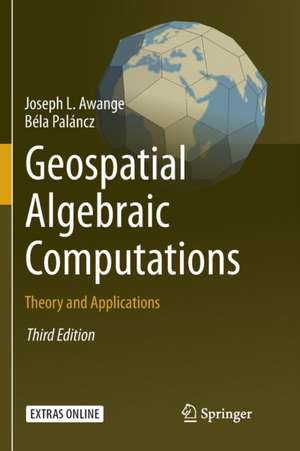
Geospatial Algebraic Computations: Theory and Applications
Autor Joseph Awange, Béla Palánczen Limba Engleză Paperback – 30 mar 2018
| Toate formatele și edițiile | Preț | Express |
|---|---|---|
| Paperback (1) | 653.46 lei 6-8 săpt. | |
| Springer International Publishing – 30 mar 2018 | 653.46 lei 6-8 săpt. | |
| Hardback (1) | 660.04 lei 6-8 săpt. | |
| Springer International Publishing – 8 feb 2016 | 660.04 lei 6-8 săpt. |
Preț: 653.46 lei
Preț vechi: 768.78 lei
-15% Nou
Puncte Express: 980
Preț estimativ în valută:
125.05€ • 135.79$ • 105.05£
125.05€ • 135.79$ • 105.05£
Carte tipărită la comandă
Livrare economică 23 aprilie-07 mai
Preluare comenzi: 021 569.72.76
Specificații
ISBN-13: 9783319797946
ISBN-10: 3319797948
Ilustrații: XX, 541 p. 185 illus., 37 illus. in color.
Dimensiuni: 155 x 235 mm
Greutate: 0.78 kg
Ediția:Softcover reprint of the original 3rd ed. 2016
Editura: Springer International Publishing
Colecția Springer
Locul publicării:Cham, Switzerland
ISBN-10: 3319797948
Ilustrații: XX, 541 p. 185 illus., 37 illus. in color.
Dimensiuni: 155 x 235 mm
Greutate: 0.78 kg
Ediția:Softcover reprint of the original 3rd ed. 2016
Editura: Springer International Publishing
Colecția Springer
Locul publicării:Cham, Switzerland
Cuprins
Part I Algebraic symbolic and numeric methods.- Basics of Ring Theory.- Basics of Polynominal Theory.- Groebner Basis.- Polynominal Resultants.- Linear and Nonlinear Homotpy.- Solutions of Overdetermined Systems.- Extended Newton-Raphson method.- Procrustes Solution.- EIV models and Pareto Optimality.-Symbolic Regression.- Robust Estimation.- Part II Applications to geodesy and geoinformatics.- LPS-GNSS Orientations and vertical Deflections.- Cartesian to Ellipsoidal Mapping.- Positioning by Ranging.-Positioning by resection Methods.- Positioning by intersection Methods.- GNSS Environmental Monitoring.- Algebraic Diagnosis of Outliers.- Datum Transformation Problems.- Appendix.- References.- Index.
Notă biografică
Joseph Awange, Curtin University, Perth, Australia
Béla Paláncz, Budapest University of Technology and Economics, Budapest, Hungary
Béla Paláncz, Budapest University of Technology and Economics, Budapest, Hungary
Textul de pe ultima copertă
Improved geospatial instrumentation and technology such as in laser scanning has now resulted in millions of data being collected, e.g., point clouds. It is in realization that such huge amount of data requires efficient and robust mathematical solutions that this third edition of the book extends the second edition by introducing three new chapters: Robust parameter estimation, Multiobjective optimization and Symbolic regression. Furthermore, the linear homotopy chapter is expanded to include nonlinear homotopy. These disciplines are discussed first in the theoretical part of the book before illustrating their geospatial applications in the applications chapters where numerous numerical examples are presented. The renewed electronic supplement contains these new theoretical and practical topics, with the corresponding Mathematica statements and functions supporting their computations introduced and applied. This third edition is renamed in light of these technological advancements.
Caracteristici
All important algorithms algebraic symbolic (resultants, Gröbner basis) and algebraic numeric (homotopy, Procrustes) are under one roof The book provides theoretical as well as practical applications of the algorithms All of these methods are discussed from a geospatialist point of view and applied accordingly The book provides the only available electronic supplement with CAS, which ensures the computations all of these subjects with one software (Mathematica) No special mathematical background is required to understand the theories and their applications


