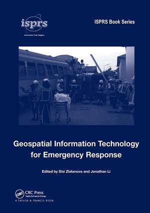
Geospatial Information Technology for Emergency Response
Editat de Sisi Zlatanova, Jonathan Lien Limba Engleză Hardback – 24 ian 2008
The aim of this volume is to share technological advances that allow wider, faster and more effective utilization of geospatial information in emergency response situations. The volume describes current accomplishments and challenges in providing geospatial information with these attributes, and is organized in six parts:
- Practice and legislation, with a focus on the utilization of geospatial information in recent disaster events, as well as resulting legislative attempts to share and access data.
- Data collection and data products.
- Data management and routing in 3D.
- Emerging technologies, including positioning, virtual reality and simulation models.
- Integration of heterogeneous data.
- Applications and solutions.
This volume is aimed at researchers, practitioners and students who work in the variety of disciplines related to geospatial information technology for emergency response, and represents the very best of current thinking from a number of pioneering studies over the past four years.
| Toate formatele și edițiile | Preț | Express |
|---|---|---|
| Paperback (1) | 375.60 lei 6-8 săpt. | |
| CRC Press – 18 oct 2019 | 375.60 lei 6-8 săpt. | |
| Hardback (1) | 1355.68 lei 6-8 săpt. | |
| CRC Press – 24 ian 2008 | 1355.68 lei 6-8 săpt. |
Preț: 1355.68 lei
Preț vechi: 1822.78 lei
-26% Nou
Puncte Express: 2034
Preț estimativ în valută:
259.53€ • 270.80$ • 217.56£
259.53€ • 270.80$ • 217.56£
Carte tipărită la comandă
Livrare economică 13-27 martie
Preluare comenzi: 021 569.72.76
Specificații
ISBN-13: 9780415422475
ISBN-10: 0415422477
Pagini: 400
Dimensiuni: 174 x 246 x 32 mm
Greutate: 0.84 kg
Ediția:1
Editura: CRC Press
Colecția CRC Press
ISBN-10: 0415422477
Pagini: 400
Dimensiuni: 174 x 246 x 32 mm
Greutate: 0.84 kg
Ediția:1
Editura: CRC Press
Colecția CRC Press
Public țintă
Academic and Professional Practice & DevelopmentCuprins
Part 1: Practice and legislation Improving geospatial information in disaster management through action on lessons learned from major events, Legal aspects of using space-derived geospatial information for emergency response, with particular reference to the Charter on Space and Major Disasters, Part 2: Data collection and products Real-time data collection and information generation using airborne sensors, Satellite remote sensing for near-real time data collection, Terrestrial mobile mapping towards real-time geospatial data collection, Part 3: Data management and routing in 3D Real time and spatiotemporal data indexing for sensor based databases, A 3D data model and topological analyses for emergency response in urban areas J. Lee & S. Zlatanova Multidimensional and dynamic vehicle emergency routing algorithm based on 3D GIS, Part 4: Positioning, virtual reality and simulation 3D positioning systems for emergency response, Virtual Reality for training and collaboration in emergency management, Visual analytics in flood forecasting M. Jern Part 5: Integration of heterogeneous data The semantic mismatch as limiting factor for the use of geospatial information in disaster management and emergency response, CityGML - 3D city models and their potential for emergency response, Integrated emergency management: Experiences and challenges of a national geospatial information provider, Ordnance Survey, Part 6: Applications and solutions The value of Gi4DM for transport and water management, A decision support system for the preventive evacuation of people in a dike-ring area, GIS technology and applications for the fire services.
Descriere
When disaster occurs, the response phase is viewed as the most critical in terms of saving lives and protecting property. Exploring the development of increased efficiency in emergency services, this volume covers technological advances that allow wider, faster, and more effective utilization of geospatial information. It discusses advances in positioning, virtual reality, and simulation models leading to improved response times in emergency situations. The book also discusses legislative attempts to promote the broader sharing and accessibility of vital information. The authors cover data collection, data production, data management, and 3D routing, as well as lesser known emerging technologies.


