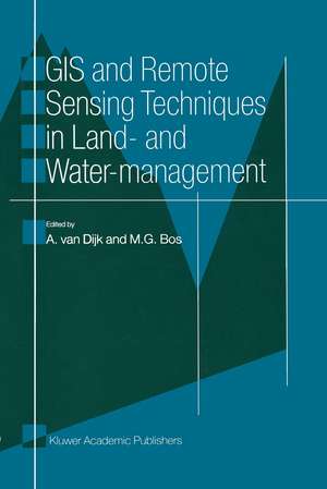
GIS and Remote Sensing Techniques in Land- and Water-management
Editat de A. van Dijk, M.G. Bosen Limba Engleză Paperback – oct 2011
Remote Sensing has considerable potential to provide reliable information. A Geographic Information System is an easy tool for manipulating and analysing the data in a clear and fast way. This book describes in seven practical examples how GIS and Remote Sensing techniques are successfully applied in land and water management.
Preț: 687.66 lei
Preț vechi: 809.00 lei
-15% Nou
Puncte Express: 1031
Preț estimativ în valută:
131.63€ • 143.02$ • 110.64£
131.63€ • 143.02$ • 110.64£
Carte tipărită la comandă
Livrare economică 21 aprilie-05 mai
Preluare comenzi: 021 569.72.76
Specificații
ISBN-13: 9789401064927
ISBN-10: 940106492X
Pagini: 108
Ilustrații: 104 p.
Dimensiuni: 160 x 240 x 6 mm
Greutate: 0.16 kg
Ediția:Softcover reprint of the original 1st ed. 2001
Editura: SPRINGER NETHERLANDS
Colecția Springer
Locul publicării:Dordrecht, Netherlands
ISBN-10: 940106492X
Pagini: 108
Ilustrații: 104 p.
Dimensiuni: 160 x 240 x 6 mm
Greutate: 0.16 kg
Ediția:Softcover reprint of the original 1st ed. 2001
Editura: SPRINGER NETHERLANDS
Colecția Springer
Locul publicării:Dordrecht, Netherlands
Public țintă
ResearchCuprins
1. Why would we use a GIS DataBase and Remote Sensing in Irrigation Management?.- 2. Can WARMAP save the Aral Sea?.- 3. Remote sensing for Inland Water Quality Detection and Monitoring: State-of-the-art application in Friesland waters.- 4. Use of remotely sensed Images by SPOT in Hydrologic Modelling.- 5. Measuring and analysing of flood waves in Rhine river; an application of laser altimetry.- 6. Soil moisture conditions in The Netherlands during the summer of 1995 interpreted from satellite measurements.- 7. GIS and watermanagement: Where are we heading to?.
