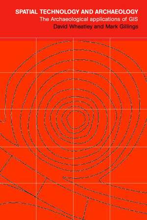
Spatial Technology and Archaeology: The Archaeological Applications of GIS
Autor David Wheatley, Mark Gillingsen Limba Engleză Paperback – 24 ian 2002
The approach is light, and technical detail is kept to a minimum, recognizing that most readers are simply interested in using GIS effectively. The text is carefully illustrated with worked case-studies using archaeological data. Spatial Technology and Archaeology provides a single reference source for archaeologists, students, professionals, and academics in archaeology as well as those in anthropology and related disciplines.
| Toate formatele și edițiile | Preț | Express |
|---|---|---|
| Paperback (1) | 463.82 lei 6-8 săpt. | |
| CRC Press – 24 ian 2002 | 463.82 lei 6-8 săpt. | |
| Hardback (1) | 683.09 lei 6-8 săpt. | |
| CRC Press – 24 ian 2002 | 683.09 lei 6-8 săpt. |
Preț: 463.82 lei
Preț vechi: 545.66 lei
-15% Nou
Puncte Express: 696
Preț estimativ în valută:
88.75€ • 92.67$ • 73.29£
88.75€ • 92.67$ • 73.29£
Carte tipărită la comandă
Livrare economică 16-30 aprilie
Preluare comenzi: 021 569.72.76
Specificații
ISBN-13: 9780415246408
ISBN-10: 0415246407
Pagini: 288
Ilustrații: 20 tables, 200 line drawings, 10 b&w and 4 pages of colour illustrations; references, index.
Dimensiuni: 152 x 229 x 14 mm
Greutate: 0.53 kg
Ediția:UK edition
Editura: CRC Press
Colecția CRC Press
ISBN-10: 0415246407
Pagini: 288
Ilustrații: 20 tables, 200 line drawings, 10 b&w and 4 pages of colour illustrations; references, index.
Dimensiuni: 152 x 229 x 14 mm
Greutate: 0.53 kg
Ediția:UK edition
Editura: CRC Press
Colecția CRC Press
Public țintă
UndergraduateCuprins
Archaeology, Space and GIS. The Spatial database. Acquiring and Integrating Data. Manipulating Spatial Data. Digital Elevation Models. Beginning to Quantify Spatial Patterns. Sites, Territories and Distance. Location Models and Prediction. Trend Surface and Interpolation. Visibility Analysis and Archaeology. Cultural Resource Management. Future Directions. References. Index.
Recenzii
"Indispensable for archaeologists who need to understand GIS...[A] very thorough examination of the subject."
-K. Kris Hirst, About.com
-K. Kris Hirst, About.com
Descriere
Beginning with a conceptual approach to the representation of space adopted by GIS, this book examines spatial databases, the acquisition and compilation of data, the analytical compilation of data, the analytical functionality of GIS, and the creation and utilization of critical foundation data layers such as the Digital Elevation Model (DEM). The approach is light, technical detail is kept to a minimum, and the text is illustrated with worked case-studies using archaeological data. Spatial Technology and Archaeology provides a reference for archaeologists, students, professionals, and academics in archaeology as well as those in anthropology and related disciplines.
