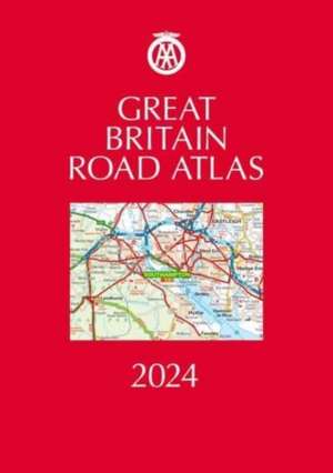
Great Britain Road Atlas 2024: AA Road Atlas Britain
en Limba Engleză Hardback – iun 2023
| Toate formatele și edițiile | Preț | Express |
|---|---|---|
| Hardback (1) | 151.14 lei 3-5 săpt. | +61.19 lei 7-13 zile |
| AA PUBLISHING – iun 2023 | 151.14 lei 3-5 săpt. | +61.19 lei 7-13 zile |
| Legat în piele (1) | 221.73 lei 3-5 săpt. | +66.49 lei 7-13 zile |
| AA PUBLISHING – iun 2023 | 221.73 lei 3-5 săpt. | +66.49 lei 7-13 zile |
Preț: 151.14 lei
Nou
28.92€ • 30.20$ • 23.94£
Carte disponibilă
Livrare economică 15-29 martie
Livrare express 01-07 martie pentru 71.18 lei
Specificații
ISBN-10: 0749583371
Pagini: 328
Dimensiuni: 305 x 216 x 25 mm
Greutate: 1.49 kg
Ediția:37 New edition
Editura: AA PUBLISHING
Seria AA Road Atlas Britain
Descriere
This A4 road atlas showcasing Britain’s clearest mapping at 3.2 miles to 1 inch is available two luxurious binding styles; hardback and leather bound.
Each page has been titled with its geographical location so you can turn to the page you need more easily. Wide minor roads (more than and less than 4m wide), National Trust, English and World Heritage sites, crematorium locations and other hard-to-find places are indicated on the mapping. Plus national parks, scenic routes and over 240 service areas.
There is a comprehensive entry index with airports, top tourist sites and motorway services included.
Also includes the top 300 AA-inspected caravan and camping sites and over 1,800 golf courses. District mapping of London, Birmingham, Glasgow, Manchester and Newcastle and 100 city, town and port plans, fully indexed central London street maps. Channel Hopping and Irish sea ferry crossing maps with operator listings.


