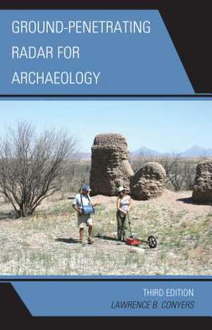
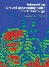
Ground-Penetrating Radar for Archaeology: Geophysical Methods for Archaeology
Autor Lawrence B. Conyersen Limba Engleză Paperback – 19 iun 2013
| Toate formatele și edițiile | Preț | Express |
|---|---|---|
| Paperback (2) | 429.38 lei 6-8 săpt. | |
| Rowman & Littlefield – 19 iun 2013 | 429.38 lei 6-8 săpt. | |
| Globe Pequot Publishing Group Inc/Bloomsbury – 15 sep 2023 | 480.98 lei 6-8 săpt. | |
| Hardback (2) | 676.42 lei 6-8 săpt. | |
| Globe Pequot Publishing Group Inc/Bloomsbury – 5 sep 2023 | 676.42 lei 6-8 săpt. | |
| Rowman & Littlefield – 19 iun 2013 | 854.21 lei 6-8 săpt. |
Preț: 429.38 lei
Nou
Puncte Express: 644
Preț estimativ în valută:
82.17€ • 85.27$ • 68.68£
82.17€ • 85.27$ • 68.68£
Carte tipărită la comandă
Livrare economică 15-29 martie
Preluare comenzi: 021 569.72.76
Specificații
ISBN-13: 9780759123496
ISBN-10: 0759123497
Pagini: 258
Ilustrații: 68 black & white illustrations, 10 black & white halftones, 6 tables
Dimensiuni: 150 x 226 x 18 mm
Greutate: 0.43 kg
Ediția:3rd Edition.
Editura: Rowman & Littlefield
Seria Geophysical Methods for Archaeology
ISBN-10: 0759123497
Pagini: 258
Ilustrații: 68 black & white illustrations, 10 black & white halftones, 6 tables
Dimensiuni: 150 x 226 x 18 mm
Greutate: 0.43 kg
Ediția:3rd Edition.
Editura: Rowman & Littlefield
Seria Geophysical Methods for Archaeology
Notă biografică
By Lawrence B. Conyers
Descriere
A concise and easy-to-read summary of all the latest and crucial aspects of ground-penetrating radar uses and data collection, analysis, and processing for archaeological mapping and exploration
