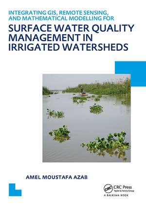
Integrating GIS, Remote Sensing, and Mathematical Modelling for Surface Water Quality Management in Irrigated Watersheds: UNESCO-IHE PhD Thesis
Autor Amel Moustafa Azaben Limba Engleză Paperback – 12 feb 2012
Preț: 596.40 lei
Preț vechi: 800.87 lei
-26% Nou
Puncte Express: 895
Preț estimativ în valută:
114.14€ • 118.72$ • 94.23£
114.14€ • 118.72$ • 94.23£
Carte tipărită la comandă
Livrare economică 14-28 aprilie
Preluare comenzi: 021 569.72.76
Specificații
ISBN-13: 9780415621151
ISBN-10: 0415621151
Pagini: 238
Dimensiuni: 174 x 246 x 22 mm
Greutate: 0.41 kg
Ediția:1
Editura: CRC Press
Colecția CRC Press
ISBN-10: 0415621151
Pagini: 238
Dimensiuni: 174 x 246 x 22 mm
Greutate: 0.41 kg
Ediția:1
Editura: CRC Press
Colecția CRC Press
Public țintă
PostgraduateDescriere
This research study focuses on the development of a computational framework for surface water quality management, integrating different modelling and analysis tools. The present research aims to contribute to the field of surface water quality management through integrating physically based water quality and eutrophication mathematical models with the spatial capabilities of GIS and the spatial and temporal capabilities of remote sensing to develop an integrated water quality management information system that is applicable to irrigated watersheds.
