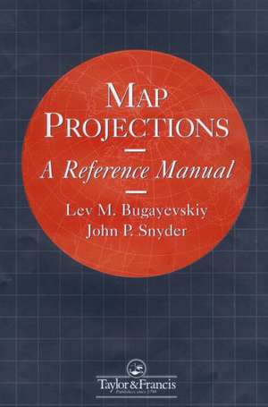
Map Projections: A Reference Manual
Autor L M Bugayevskiy, John Snyderen Limba Engleză Paperback – 28 iun 1995
Preț: 786.38 lei
Preț vechi: 959.00 lei
-18% Nou
Puncte Express: 1180
Preț estimativ în valută:
150.49€ • 156.54$ • 124.24£
150.49€ • 156.54$ • 124.24£
Carte tipărită la comandă
Livrare economică 14-28 aprilie
Preluare comenzi: 021 569.72.76
Specificații
ISBN-13: 9780748403042
ISBN-10: 0748403043
Pagini: 348
Dimensiuni: 189 x 246 x 20 mm
Greutate: 0.57 kg
Ediția:1
Editura: CRC Press
Colecția CRC Press
Locul publicării:Boca Raton, United States
ISBN-10: 0748403043
Pagini: 348
Dimensiuni: 189 x 246 x 20 mm
Greutate: 0.57 kg
Ediția:1
Editura: CRC Press
Colecția CRC Press
Locul publicării:Boca Raton, United States
Public țintă
ProfessionalCuprins
1.Introduction 2. General Theory of Map Projections 3. Map Projections with Straight Parallels 4. Map Projections with Parallels in the Shape of Concentric Circles 5. Map Projections with Parallels in the Shape on Nonconcentric Circles 6. Projections for Topographic and Named Quadrangle Maps 7. Research in Map Projections; Best and Ideal Map Projections 8. Numerical Methods in Mathematical Cartography 9. Choice and Identification in Map Projections 10. Problems and Automation in Map Projections 11. Summary of Miscellaneous Map Projections.
Normal
Normal
Default Paragraph Font
Default Paragraph Font
wdooley$P:\sourcecd.vf7\tnf_books\TF1904.docÿ??
Unknownÿ!
Times New Roman
Times New Roman
Symbol
Symbol
'
Normal
Normal
Default Paragraph Font
Default Paragraph Font
wdooley$P:\sourcecd.vf7\tnf_books\TF1904.docÿ??
Unknownÿ!
Times New Roman
Times New Roman
Symbol
Symbol
'
Descriere
Map projection is the science of mathematical cartography, the techniques by which the Earth's dimensions, shape and features are translated in map form, in either two-dimensional paper or two- or three- dimensional electronic representations. The central focus of this book is on the theory of map projections. Mathematical cartography also takes in map scales and their variation, the division of maps into sets of sheets and nomenclature, and addresses the problems of making measurements and conducting investigations which make use of geodetic measurements and the development of graphical methods for solving problems of spherical trigonometry, marine- and aeronavigation, astronomy, and even crystallography.
