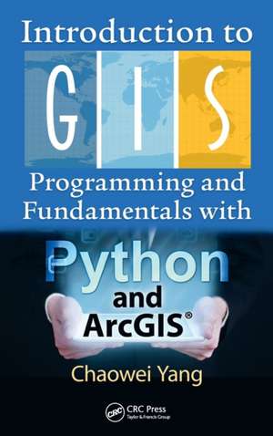
Introduction to GIS Programming and Fundamentals with Python and ArcGIS (R)
Autor Chaowei Yangen Limba Engleză Hardback – 7 apr 2017
Preț: 604.57 lei
Preț vechi: 755.72 lei
-20% Nou
115.68€ • 120.78$ • 95.74£
Carte disponibilă
Livrare economică 14-28 martie
Livrare express 27 februarie-05 martie pentru 36.60 lei
Specificații
ISBN-10: 1466510080
Pagini: 328
Ilustrații: 100 Illustrations, black and white
Dimensiuni: 156 x 234 x 28 mm
Greutate: 0.68 kg
Ediția:1
Editura: CRC Press
Colecția CRC Press
Locul publicării:Boca Raton, United States
Cuprins
Notă biografică
Recenzii
— Mark Gahegan, University of Auckland, New Zealand
"Anyone who wants to develop programming skills to solve spatial problems will treasure this book – bringing together as it does practical skills in applying fundamental GIS principles, Python programming and open-source GIS development. This book is developed from the authors’ decades of combined teaching experience, with obvious benefits for training those encountering GIS programming for the first time. The comprehensive online materials are a boon. The treatment of topics proceeds from basic to advanced in a commendably clear and comprehensive manner. This treatment will be particularly useful for students encountering ‘Big’ space-time data that today pervade so many areas of application."
—Tao Cheng, University College London, United Kingdom
"This book will be of benefit to GIS/IT professionals in general as well as to students interested in systematically building GIS programming knowledge and skills. I strongly recommend this book."
— Rui Li, Wuhan University, China
"… an A to Z of GIS. [This book] covers a remarkable breadth of material, from the practical nuts-and-bolts of programming a GIS, to the fundamental concepts that underpin all of spatial information science. As spatial computing skills become increasingly valued both in education and the workplace, a book like this is an invaluable resource for people who want to understand more about and do more with spatial data. Those with a background in GIS and geography will find a wealth of accessible information and exercises to build new programming skills; skilled programmers can uncover the fundamental spatial concepts that are the basis of elegant and robust spatial information systems. By marrying the practice with theory, the book can claim to be a one-stop-shop for all your spatial computing needs."
— Matt Duckham, RMIT University, Me
Descriere
Combining GIS concepts and fundamental spatial thinking methodology with real programming examples, this book introduces popular Python-based tools and their application to solving real-world problems. It elucidates the programming constructs of Python with its high-level toolkits and demonstrates its integration with ArcGIS Theory. Filled with hands-on computer exercises in a logical learning workflow this book promotes increased interactivity between instructors and students while also benefiting professionals in the field with vital knowledge to sharpen their programming skills.
Readers receive expert guidance on modules, package management, and handling shapefile formats needed to build their own mini-GIS. Comprehensive and engaging commentary, robust contents, accompanying datasets, and classroom-tested exercises are all housed here to permit users to become competitive in the GIS/IT job market and industry.
