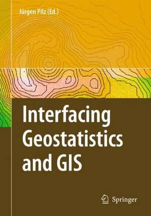
Interfacing Geostatstics and GIS
Editat de Juergen Pilzen Limba Engleză Hardback – 9 mar 2009
| Toate formatele și edițiile | Preț | Express |
|---|---|---|
| Paperback (1) | 784.82 lei 38-45 zile | |
| Springer Berlin, Heidelberg – 14 oct 2010 | 784.82 lei 38-45 zile | |
| Hardback (1) | 953.65 lei 6-8 săpt. | |
| Springer Berlin, Heidelberg – 9 mar 2009 | 953.65 lei 6-8 săpt. |
Preț: 953.65 lei
Preț vechi: 1162.99 lei
-18% Nou
Puncte Express: 1430
Preț estimativ în valută:
182.51€ • 189.09$ • 152.31£
182.51€ • 189.09$ • 152.31£
Carte tipărită la comandă
Livrare economică 21 martie-04 aprilie
Preluare comenzi: 021 569.72.76
Specificații
ISBN-13: 9783540332350
ISBN-10: 3540332359
Pagini: 312
Ilustrații: XV, 282 p.
Dimensiuni: 155 x 235 x 23 mm
Greutate: 0.68 kg
Ediția:2009
Editura: Springer Berlin, Heidelberg
Colecția Springer
Locul publicării:Berlin, Heidelberg, Germany
ISBN-10: 3540332359
Pagini: 312
Ilustrații: XV, 282 p.
Dimensiuni: 155 x 235 x 23 mm
Greutate: 0.68 kg
Ediția:2009
Editura: Springer Berlin, Heidelberg
Colecția Springer
Locul publicării:Berlin, Heidelberg, Germany
Public țintă
Professional/practitionerCuprins
Geostatistical Modeling Aspects and New (Geo)statistical Tools.- How We Build Geostatistical Models and Deal with Their Output.- Spartan Random Fields: Smoothness Properties of Gaussian Densities and Definition of Certain Non-Gaussian Models.- Bayesian Trans-Gaussian Kriging with Log-Log Transformed Skew Data.- Kriging and Splines: Theoretical Approach to Linking Spatial Prediction Methods.- ANNEX Model: Artificial Neural Networks with External Drift Environmental Data Mapping.- Regional Classification of Indoor Radon Data with Support Vector Machines and Geostatistical Tools.- Daubechies Wavelets for Identification of Rock Variants from IR Spectra.- Geostatistical Applications.- Simulating the Effects of Rural Development Policies on Land Use: Evidence from Spatially Explicit Modeling in the Central Highlands of Vietnam.- Kriged Road-Traffic Maps.- On Evaluation of Precipitation Fields with Rain Station Data.- Robust Spatial Correlation Analysis of~the~ETEX-1~Tracer Data.- Fuzzy Model of Soil Polygons for Managing the Imprecision.- Mapping the Contaminant Legacy of a Coking Plant, The Avenue, Chesterfield, UK.- A Note on Numerical Solutions of Least Squares Adjustment in GNU Project Gama.- Presentation of Entrepreneurship Data and Aspects of Spatial Modeling.- Integrated Information Systems: Combining (Geo)Statistics, GIS and RDBMS.- GIS, Users, Developers, and Spatial Statistics: On Monarchs and Their Clothing.- Reassignment of the Farm Structure Statistical Data Using GIS and Spatialisation of the Results Based on Remotely Sensed Data.- Epidemiological Information Systems.- Geomatics, Epidemiology and BioStatistics: An Application to Acute Coronary Syndrome.- Interactive Cumulative Curves for Exploratory Classification Maps.- Combining REmbeddedPostgres and PostGIS.
Caracteristici
Includes supplementary material: sn.pub/extras
