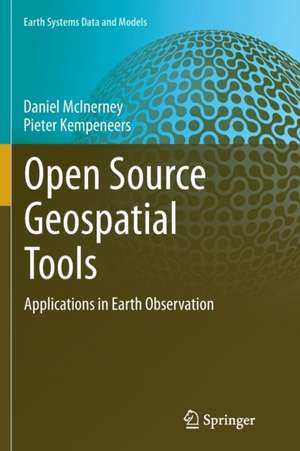
Open Source Geospatial Tools: Applications in Earth Observation: Earth Systems Data and Models, cartea 3
Autor Daniel McInerney, Pieter Kempeneersen Limba Engleză Paperback – 10 sep 2016
A series of fully worked case studies are presented including vector spatial analysis, remote sensing data analysis, landcover classification and LiDAR processing. A hands-on introduction to the application programming interface (API) of GDAL/OGR in Python/C++ is provided for readers who want to extend existing tools and/or develop their own software.
| Toate formatele și edițiile | Preț | Express |
|---|---|---|
| Paperback (1) | 644.95 lei 6-8 săpt. | |
| Springer International Publishing – 10 sep 2016 | 644.95 lei 6-8 săpt. | |
| Hardback (1) | 651.19 lei 6-8 săpt. | |
| Springer International Publishing – 9 dec 2014 | 651.19 lei 6-8 săpt. |
Preț: 644.95 lei
Preț vechi: 758.77 lei
-15% Nou
Puncte Express: 967
Preț estimativ în valută:
123.43€ • 134.02$ • 103.68£
123.43€ • 134.02$ • 103.68£
Carte tipărită la comandă
Livrare economică 22 aprilie-06 mai
Preluare comenzi: 021 569.72.76
Specificații
ISBN-13: 9783319346250
ISBN-10: 3319346253
Pagini: 385
Ilustrații: XXVII, 358 p. 96 illus., 50 illus. in color.
Dimensiuni: 155 x 235 x 20 mm
Greutate: 0.54 kg
Ediția:Softcover reprint of the original 1st ed. 2015
Editura: Springer International Publishing
Colecția Springer
Seria Earth Systems Data and Models
Locul publicării:Cham, Switzerland
Cuprins
Introduction.- Vector data processing.- Raster data explained.- Introduction to GDAL utilities.- Manipulating raster data.- Indexed color images.- Image overviews, tiling and pyramids.- Image (re-)projections and merging.- Raster meets vector data.- Raster meets point data.- Virtual rasters and raster calculations.- Pktools.- Orfeo Toolbox.- Write your own geospatial utilities.- 3D point cloud data processing.- Case study on Vector Spatial analysis.- Multispectral land cover classification.- Case study on point data.- Conclusions and future outlook.
Textul de pe ultima copertă
This book focuses on the use of open source software for geospatial analysis. It demonstrates the effectiveness of the command line interface for handling both vector, raster and 3D geospatial data. Appropriate open-source tools for data processing are clearly explained and discusses how they can be used to solve everyday tasks.
A series of fully worked case studies are presented including vector spatial analysis, remote sensing data analysis, landcover classification and LiDAR processing. A hands-on introduction to the application programming interface (API) of GDAL/OGR in Python/C++ is provided for readers who want to extend existing tools and/or develop their own software.
A series of fully worked case studies are presented including vector spatial analysis, remote sensing data analysis, landcover classification and LiDAR processing. A hands-on introduction to the application programming interface (API) of GDAL/OGR in Python/C++ is provided for readers who want to extend existing tools and/or develop their own software.
Caracteristici
Contains practical tips (one-liners) for everyday geospatial data analysis Provides comprehensive tutorials and explanations on data handling for environmental applications Also applicable for automated large data processing Focuses exclusively on free open source geospatial software that includes: GDAL/OGR, Orfeo Toolbox, pktools and spdlib Serves as a tutorial for novice command line users and a reference guide for experienced users Includes supplementary material: sn.pub/extras
