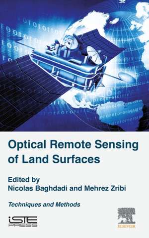
Optical Remote Sensing of Land Surface: Techniques and Methods
Autor Nicolas Baghdadi, Mehrez Zribien Limba Engleză Hardback – 30 aug 2016
- Provides clear and concise descriptions of modern remote sensing methods
- Explores the most current remote sensing techniques with physical aspects of the measurement (theory) and their applications
- Provides chapters on physical principles, measurement, and data processing for each technique described
- Describes optical remote sensing technology, including a description of acquisition systems and measurement corrections to be made
Preț: 613.24 lei
Preț vechi: 798.30 lei
-23% Nou
Puncte Express: 920
Preț estimativ în valută:
117.38€ • 127.54$ • 98.66£
117.38€ • 127.54$ • 98.66£
Carte tipărită la comandă
Livrare economică 14-28 aprilie
Preluare comenzi: 021 569.72.76
Specificații
ISBN-13: 9781785481024
ISBN-10: 1785481029
Pagini: 388
Dimensiuni: 152 x 229 x 30 mm
Greutate: 0.77 kg
Editura: ELSEVIER SCIENCE
ISBN-10: 1785481029
Pagini: 388
Dimensiuni: 152 x 229 x 30 mm
Greutate: 0.77 kg
Editura: ELSEVIER SCIENCE
Public țintă
Research laboratories specializing in remote sensing or users of satellite products, Masters or Doctorate level students in the field of engineering, agriculture and geographyCuprins
1: Radiometry in the Optical Domain
2: Multispectral Satellite Image Processing
3: Digital Terrain Models from Optical Images
4: Processing Hyperspectral Images
5: Principle and Physics of the LiDAR Measurement
6: Airborne LiDAR Data Processing
7: Digital Terrain Models Derived from Airborne LiDAR Data
2: Multispectral Satellite Image Processing
3: Digital Terrain Models from Optical Images
4: Processing Hyperspectral Images
5: Principle and Physics of the LiDAR Measurement
6: Airborne LiDAR Data Processing
7: Digital Terrain Models Derived from Airborne LiDAR Data
