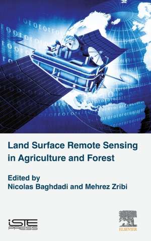
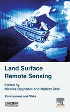
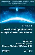
Land Surface Remote Sensing in Agriculture and Forest
Autor Nicolas Baghdadi, Mehrez Zribien Limba Engleză Hardback – 20 sep 2016
This volume presents the main applications in remote sensing for agriculture and forestry, including the primary soil properties, the estimation of the vegetation’s biophysical variables, methods for mapping land cover, the contribution of remote sensing for crop and water monitoring, and the estimation of the forest cover properties (cover dynamic, height, biomass).
This book, part of a set of six volumes, has been produced by scientists who are internationally renowned in their fields. It is addressed to students (engineers, Masters, PhD), engineers and scientists, specialists in remote sensing applied to agriculture and forestry.
Through this pedagogical work, the authors contribute to breaking down the barriers that hinder the use of radar imaging techniques.
- Provides clear and concise descriptions of modern remote sensing methods
- Explores the most current remote sensing techniques with physical aspects of the measurement (theory) and their applications
- Provides chapters on physical principles, measurement, and data processing for each technique described
- Describes optical remote sensing technology, including a description of acquisition systems and measurement corrections to be made
Preț: 672.50 lei
Preț vechi: 936.42 lei
-28% Nou
Puncte Express: 1009
Preț estimativ în valută:
128.72€ • 139.87$ • 108.20£
128.72€ • 139.87$ • 108.20£
Carte tipărită la comandă
Livrare economică 15-29 aprilie
Preluare comenzi: 021 569.72.76
Specificații
ISBN-13: 9781785481031
ISBN-10: 1785481037
Pagini: 496
Dimensiuni: 152 x 229 x 35 mm
Greutate: 0.89 kg
Editura: ELSEVIER SCIENCE
ISBN-10: 1785481037
Pagini: 496
Dimensiuni: 152 x 229 x 35 mm
Greutate: 0.89 kg
Editura: ELSEVIER SCIENCE
Public țintă
Research laboratories specializing in remote sensing or users of satellite products, Masters or Doctorate level students in the field of engineering, agriculture and geographyCuprins
1: Mapping of Primary Soil Properties Using Optical Visible and Near Infrared (Vis-NIR) Remote Sensing
2: Estimation of Biophysical Variables from Satellite Observations
3: Land Cover Mapping from Optical Images
4: Contribution of Remote Sensing for Crop and Water Monitoring
5: Contribution of Remote Sensing to Crop Monitoring in Tropical Zones
6: Monitoring of Agricultural Landscapes Using Remote Sensing Data
7: Applications of Multispectral Optical Satellite Imaging in Forestry
8: Characterization of Forests with LiDAR Technology
9: Forest Biomass From Radar Remote Sensing
