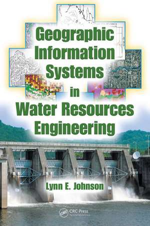
Geographic Information Systems in Water Resources Engineering
Autor Lynn E. Johnsonen Limba Engleză Hardback – 17 dec 2008
GIS in Water Resource Engineering presents a review of the concepts and applications of GIS in the various sub-fields of water resource engineering. After a summary review of analyses and database functions, the book addresses concepts and applications in the following areas:
- Surface Water Hydrology
- Groundwater Hydrology
- Water Supply and Irrigation systems
- Wastewater and Stormwater Systems
- Floodplain Management
- Water Quality
- Water Resource Monitoring and Forecasting
- River Basin Planning and Management
The profound impact of GIS systems on water resources engineering continues to grow. GIS in Water Resource Engineering arms engineers and planners with an arsenal of tools to assist in the creation of a reliable, environmentally sensitive, infrastructure.
| Toate formatele și edițiile | Preț | Express |
|---|---|---|
| Paperback (1) | 328.94 lei 6-8 săpt. | |
| CRC Press – 30 iun 2020 | 328.94 lei 6-8 săpt. | |
| Hardback (1) | 1121.01 lei 6-8 săpt. | |
| CRC Press – 17 dec 2008 | 1121.01 lei 6-8 săpt. |
Preț: 1121.01 lei
Preț vechi: 1367.09 lei
-18% Nou
Puncte Express: 1682
Preț estimativ în valută:
214.53€ • 219.70$ • 178.46£
214.53€ • 219.70$ • 178.46£
Carte tipărită la comandă
Livrare economică 19 martie-02 aprilie
Preluare comenzi: 021 569.72.76
Specificații
ISBN-13: 9781420069136
ISBN-10: 1420069136
Pagini: 338
Ilustrații: 16-page 4-color insert follows pg 136; 186 Illustrations, black and white
Dimensiuni: 178 x 254 x 27 mm
Greutate: 0.79 kg
Ediția:1
Editura: CRC Press
Colecția CRC Press
ISBN-10: 1420069136
Pagini: 338
Ilustrații: 16-page 4-color insert follows pg 136; 186 Illustrations, black and white
Dimensiuni: 178 x 254 x 27 mm
Greutate: 0.79 kg
Ediția:1
Editura: CRC Press
Colecția CRC Press
Public țintă
ProfessionalCuprins
Overview of GIS for WR Engineering. Introduction to GIS. GIS Analysis Functions and Operations. GIS Database Development. GIS for Surface Water Hydrology. GIS for Floodplain Management. GIS for Groundwater Hydrology. GIS for Urban Water Systems. Suitability Assessment using GIS. GIS for WR Monitoring and Forecasting. GIS for WR Decision Support Systems. GIS Management and Policies.
Descriere
GIS technology is increasingly used in water resources engineering in a variety of ways. This book provides a fundamental understanding of GIS, including how to develop and analyze geographic data, how to differentiate between the various types of geographic data, and how to assess the operational requirements needed to implement GIS. With an introduction to primary remote sensing as well as methods of interpretation and analysis, the text focuses on how GIS data can be applied to water resource analysis models. Such applications include water supply demand forecasting, hydrologic modeling watersheds, modeling erosion, and non-point sources of water pollution.
