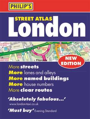
Philip's Street Atlas London: Philip's Street Atlas
Autor Philip's Mapsen Limba Engleză Paperback – 6 sep 2017
Din seria Philip's Street Atlas
- 23%
 Preț: 74.24 lei
 - 21%
 Preț: 87.03 lei
 - 23%
 Preț: 74.29 lei
 - 21%
 Preț: 86.95 lei
 - 22%
 Preț: 86.75 lei
 - 23%
 Preț: 74.29 lei
 - 21%
 Preț: 86.95 lei
 - 23%
 Preț: 74.22 lei
 - 21%
 Preț: 87.19 lei
 - 22%
 Preț: 86.82 lei
 - 22%
 Preț: 86.13 lei
 - 22%
 Preț: 86.06 lei
 - 21%
 Preț: 87.42 lei
 - 21%
 Preț: 87.35 lei
 - 23%
 Preț: 83.54 lei
 - 23%
 Preț: 83.58 lei
 - 21%
 Preț: 88.75 lei
 - 22%
 Preț: 86.48 lei
 - 22%
 Preț: 85.85 lei
 - 22%
 Preț: 86.67 lei
 - 22%
 Preț: 85.90 lei
 - 21%
 Preț: 88.71 lei
 - 23%
 Preț: 84.51 lei
 - 21%
 Preț: 88.71 lei
 - 23%
 Preț: 84.64 lei
 -
 Preț: 63.29 lei
 - 33%
 Preț: 44.88 lei
Preț: 30.72 lei
Preț vechi: 44.80 lei
-31% Nou
Puncte Express: 46
Preț estimativ în valută:
5.88€ • 6.12$ • 4.93£
5.88€ • 6.12$ • 4.93£
Cartea se retipărește
Doresc să fiu notificat când acest titlu va fi disponibil:
Se trimite...
Preluare comenzi: 021 569.72.76
Specificații
ISBN-13: 9781849074544
ISBN-10: 1849074542
Pagini: 320
Dimensiuni: 103 x 137 x 17 mm
Greutate: 0.22 kg
Editura: OCTOPUS PUBLISHING GROUP
Colecția Philip's Street Atlas
Seria Philip's Street Atlas
ISBN-10: 1849074542
Pagini: 320
Dimensiuni: 103 x 137 x 17 mm
Greutate: 0.22 kg
Editura: OCTOPUS PUBLISHING GROUP
Colecția Philip's Street Atlas
Seria Philip's Street Atlas
Notă biografică
Philip's has been at the forefront of creating maps and atlases since 1834. Whether a local street map or a fact-packed World Atlas, we use the most up-to-date technology, expertise and our global network to ensure our customers have all the information they need.
