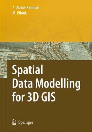
Spatial Data Modelling for 3D GIS
Autor Alias Abdul-Rahman, Morakot Pilouken Limba Engleză Hardback – 2 oct 2007
| Toate formatele și edițiile | Preț | Express |
|---|---|---|
| Paperback (1) | 944.82 lei 6-8 săpt. | |
| Springer Berlin, Heidelberg – 19 oct 2010 | 944.82 lei 6-8 săpt. | |
| Hardback (1) | 952.57 lei 6-8 săpt. | |
| Springer Berlin, Heidelberg – 2 oct 2007 | 952.57 lei 6-8 săpt. |
Preț: 952.57 lei
Preț vechi: 1161.67 lei
-18% Nou
Puncte Express: 1429
Preț estimativ în valută:
182.28€ • 191.18$ • 151.74£
182.28€ • 191.18$ • 151.74£
Carte tipărită la comandă
Livrare economică 01-15 aprilie
Preluare comenzi: 021 569.72.76
Specificații
ISBN-13: 9783540741664
ISBN-10: 3540741666
Pagini: 280
Ilustrații: XI, 289 p.
Dimensiuni: 155 x 235 x 22 mm
Greutate: 0.65 kg
Ediția:2008
Editura: Springer Berlin, Heidelberg
Colecția Springer
Locul publicării:Berlin, Heidelberg, Germany
ISBN-10: 3540741666
Pagini: 280
Ilustrații: XI, 289 p.
Dimensiuni: 155 x 235 x 22 mm
Greutate: 0.65 kg
Ediția:2008
Editura: Springer Berlin, Heidelberg
Colecția Springer
Locul publicării:Berlin, Heidelberg, Germany
Public țintă
Professional/practitionerCuprins
An Overview of 3D Gis Development.- 2D and 3D Spatial Data Representations.- The Fundamentals of Geo-Spatial Modelling.- The Conceptual Design.- The Logical Design.- Object-Orientation of Tins Spatial Data.- The Supporting Algorithms.- Applications of the Model.- The Web and 3D Gis.- Conclusion and Further Outlook.
Textul de pe ultima copertă
This book covers fundamental aspects of spatial data modelling specifically on the aspect of three-dimensional (3D) modelling and structuring. Realisation of "true" 3D GIS spatial system needs a lot of efforts, and the process is taking place in various research centres and universities in some countries. The development of spatial data modelling for 3D objects is the focus of this book. The book begins with some problems and motivations, the fundamental theories, the implementation, and some applications developed based on the concepts. The book is intended for various geoinformation related professionals like GIS engineers, GIS software developers, photogrammetrists, land surveyors, mapping specialists, researchers, postgraduate students, and lecturers.
Caracteristici
Includes supplementary material: sn.pub/extras
