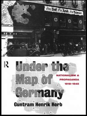
Under the Map of Germany: Nationalism and Propaganda 1918 - 1945
Autor Guntram Henrik Herben Limba Engleză Paperback – 15 aug 2014
Under the Map of Germany provides a detailed and vivid analysis of the history and techniques of nationalist mapping in inter-war Germany. Using extensive archival documentation - including many previously undiscovered maps - the author charts the development of new concepts of national territory and the establishment of an effective propaganda mapping network. His research demonstrates that a consensus about the extent of the Greater German nation was not created by skillful Nazi propagandists, but by the collaborate efforts of respected scholars and nationalist activists during the Weimar Republic. Challenging the belief that national self-determination is a just cause, Under the Map of Germany reveals that national territories are not tangible entities that can be clearly delimited, but are artificial constructs open to a wide range of interpretations.
| Toate formatele și edițiile | Preț | Express |
|---|---|---|
| Paperback (1) | 486.42 lei 6-8 săpt. | |
| Taylor & Francis – 15 aug 2014 | 486.42 lei 6-8 săpt. | |
| Hardback (1) | 1332.52 lei 6-8 săpt. | |
| Taylor & Francis – 7 noi 1996 | 1332.52 lei 6-8 săpt. |
Preț: 486.42 lei
Nou
Puncte Express: 730
Preț estimativ în valută:
93.07€ • 97.18$ • 77.03£
93.07€ • 97.18$ • 77.03£
Carte tipărită la comandă
Livrare economică 05-19 aprilie
Preluare comenzi: 021 569.72.76
Specificații
ISBN-13: 9781138006867
ISBN-10: 1138006866
Pagini: 264
Dimensiuni: 156 x 234 x 18 mm
Greutate: 0.39 kg
Ediția:1
Editura: Taylor & Francis
Colecția Routledge
Locul publicării:Oxford, United Kingdom
ISBN-10: 1138006866
Pagini: 264
Dimensiuni: 156 x 234 x 18 mm
Greutate: 0.39 kg
Ediția:1
Editura: Taylor & Francis
Colecția Routledge
Locul publicării:Oxford, United Kingdom
Public țintă
PostgraduateCuprins
Introduction 1. Nationalism, Territory, Maps and Propaganda 2. Cartography and National Territory at the End of the First World War 3. A Concern for Accuracy 5. Coordination of Cartographic Revisionism The Stiftung fur Deutsche Volks-Und Kulturbodenforschung 6. Maps as Weapons The Development of Suggestive Cartography 7. Creating a Unified Message 8. Concepts of National Territory in the Third Reich 9. Maps and Nazi Propaganda Conclusion Primary Sources Bibliography
Descriere
Using extensive, previously undiscovered archival documentation, the author provides an analysis of the history and techniques of nationalist mapping in inter-War Germany and challenges the belief that national self-determination is a just cause.


