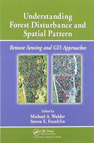
Understanding Forest Disturbance and Spatial Pattern: Remote Sensing and GIS Approaches
Editat de Michael A. Wulder, Steven E. Franklinen Limba Engleză Paperback – 30 iun 2020
You may find this subject covered briefly in a small sub-section in remote sensing forestry texts, or in limited technical detail in the ecology literature. The in-depth, detailed information provided in this book allows you to develop an understanding of the application of BOTH remote sensing and GIS technologies to forest change and the impacts of fire, insect infestation, forest harvesting, and other potential change influences – such as extreme weather events. This book provides guidance on how to master the challenges of capturing and characterizing forest disturbance and spatial patterns.
| Toate formatele și edițiile | Preț | Express |
|---|---|---|
| Paperback (1) | 313.40 lei 43-57 zile | |
| CRC Press – 30 iun 2020 | 313.40 lei 43-57 zile | |
| Hardback (1) | 1111.55 lei 43-57 zile | |
| CRC Press – 27 iul 2006 | 1111.55 lei 43-57 zile |
Preț: 313.40 lei
Preț vechi: 357.14 lei
-12% Nou
Puncte Express: 470
Preț estimativ în valută:
59.99€ • 65.18$ • 50.42£
59.99€ • 65.18$ • 50.42£
Carte tipărită la comandă
Livrare economică 21 aprilie-05 mai
Preluare comenzi: 021 569.72.76
Specificații
ISBN-13: 9780367577834
ISBN-10: 0367577836
Pagini: 268
Dimensiuni: 156 x 234 mm
Greutate: 0.5 kg
Ediția:1
Editura: CRC Press
Colecția CRC Press
ISBN-10: 0367577836
Pagini: 268
Dimensiuni: 156 x 234 mm
Greutate: 0.5 kg
Ediția:1
Editura: CRC Press
Colecția CRC Press
Public țintă
ProfessionalCuprins
Introduction: Structure, Function, and Change of Forest Landscapes. Identifying and Describing Forest Disturbance and Spatial Pattern: Data Selection Issues and Methodological Implications. Remotely Sensed Data in the Mapping of Forest Harvest Patterns. Remotely Sensed Data in the Mapping of Insect Defoliation. Using Remote Sensing to Map and Monitor Fire Damage in Forest Ecosystems. Integrating GIS and Remotely Sensed Data for Mapping Forest Disturbance and Change. New Directions in Landscape Pattern Analysis and Linkages with Remote Sensing. Characterizing Stand-Replacing Harvest and Fire Disturbance Patches in a Forested Landscape: A Case Study from Cooney Ridge. Conclusion: Understanding Forest Disturbance and Spatial Pattern, Information Needs, and New Approaches. Index.
Notă biografică
Michael A. Wulder, Steven E. Franklin
Recenzii
". . . this book seriously integrates the use of remote sensing and GIS techniques to help forestry researchers, resource management professionals, and conservation biologists meet the challenges of capturing and characterizing forest disturbance and their spatial patterns . . . well-researched and makes a significant contribution to the forestry, remote sensing and landscape ecology bodies of literature."
– Kin M. Ma, Geography and Planning Department, Grand Valley State University, in Photogrammetric Engineering & Remote Sensing, November 2008
– Kin M. Ma, Geography and Planning Department, Grand Valley State University, in Photogrammetric Engineering & Remote Sensing, November 2008
Descriere
Written by experts, peer-reviewed to adhere to the strictest standards and highest quality criteria, this book discusses natural and human-caused forest change. The chapters explore forest disturbance and spatial pattern from an ecological point-of-view within the context of structure, function, pattern, and change. They conclude with a summary of
