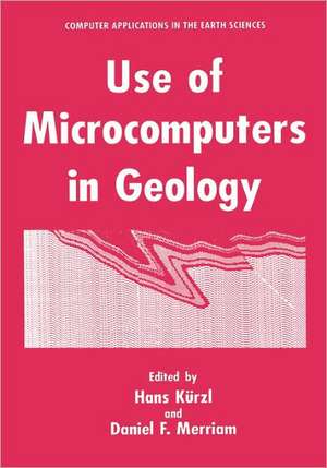
Use of Microcomputers in Geology: Computer Applications in the Earth Sciences
Editat de Hans Kürzl, Daniel F. Merriamen Limba Engleză Hardback – 31 ian 1993
| Toate formatele și edițiile | Preț | Express |
|---|---|---|
| Paperback (1) | 987.32 lei 6-8 săpt. | |
| Springer Us – 18 iul 2013 | 987.32 lei 6-8 săpt. | |
| Hardback (1) | 999.20 lei 6-8 săpt. | |
| Springer Us – 31 ian 1993 | 999.20 lei 6-8 săpt. |
Preț: 999.20 lei
Preț vechi: 1249.00 lei
-20% Nou
Puncte Express: 1499
Preț estimativ în valută:
191.20€ • 200.54$ • 159.17£
191.20€ • 200.54$ • 159.17£
Carte tipărită la comandă
Livrare economică 01-15 aprilie
Preluare comenzi: 021 569.72.76
Specificații
ISBN-13: 9780306443107
ISBN-10: 0306443104
Pagini: 285
Ilustrații: XV, 285 p.
Dimensiuni: 178 x 254 x 19 mm
Greutate: 0.75 kg
Ediția:1992
Editura: Springer Us
Colecția Springer
Seria Computer Applications in the Earth Sciences
Locul publicării:New York, NY, United States
ISBN-10: 0306443104
Pagini: 285
Ilustrații: XV, 285 p.
Dimensiuni: 178 x 254 x 19 mm
Greutate: 0.75 kg
Ediția:1992
Editura: Springer Us
Colecția Springer
Seria Computer Applications in the Earth Sciences
Locul publicării:New York, NY, United States
Public țintă
ResearchCuprins
Zoneography of mineral resources.- Teaching and testing strategy in mineral exploration by simulation techniques on personal computers.- Computer-aided decision techniques for hydrogeochemical uranium exploration.- Estimating the probability of occurrence of mineral deposits from multiple map patterns.- Use of a laptop computer and spreadsheet software for geophysical surveys.- A program for petrophysical database management.- Artificial intelligence tools and techniques for waterresources assessment in Africa.- Hydrodat®: a package for hydrogeochemical data management.- MinIdent - some recent developments.- Microcomputer application of digital elevation models and other gridded data sets for geologists.- Reusable code works!.- A PC statistical package for field acquisition and analysis of two-dimensional orientation data.- A simple method for the comparison of adjacent points on thematic maps.- Map integration model applied in site selection.- Analysis of space and time dependent data on a PC using a data analysis system (DAS): a case study.
