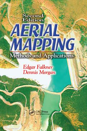
Aerial Mapping: Methods and Applications, Second Edition: Mapping Science
Autor Dennis Morgan, Edgar Falkneren Limba Engleză Paperback – 30 iun 2020
This new edition highlights the significant changes in equipment and techniques. High-speed computers, scanners, and remote sensors have changed the way mapping is done. The principles of photogrammetry, image analysis, and remote sensing have become dynamically intertwined. With the solid grounding in basic procedures that Aerial Mapping: Methods and Applications, Second Edition provides you can apply your knowledge to the special conditions of each aerial mapping project.
| Toate formatele și edițiile | Preț | Express |
|---|---|---|
| Paperback (1) | 327.89 lei 6-8 săpt. | |
| CRC Press – 30 iun 2020 | 327.89 lei 6-8 săpt. | |
| Hardback (1) | 1299.29 lei 6-8 săpt. | |
| CRC Press – 13 noi 2001 | 1299.29 lei 6-8 săpt. |
Preț: 327.89 lei
Preț vechi: 423.90 lei
-23% Nou
Puncte Express: 492
Preț estimativ în valută:
62.76€ • 65.81$ • 51.86£
62.76€ • 65.81$ • 51.86£
Carte tipărită la comandă
Livrare economică 30 ianuarie-13 februarie 25
Preluare comenzi: 021 569.72.76
Specificații
ISBN-13: 9780367578725
ISBN-10: 0367578727
Pagini: 216
Dimensiuni: 156 x 234 x 16 mm
Greutate: 0.4 kg
Ediția:2
Editura: CRC Press
Colecția CRC Press
Seria Mapping Science
Locul publicării:Boca Raton, United States
ISBN-10: 0367578727
Pagini: 216
Dimensiuni: 156 x 234 x 16 mm
Greutate: 0.4 kg
Ediția:2
Editura: CRC Press
Colecția CRC Press
Seria Mapping Science
Locul publicării:Boca Raton, United States
Public țintă
ProfessionalCuprins
Introduction to Digital Data Collection. Electromagnetic Energy. Global Positioning. Aerial Films. Aerial Photographic Systems. Aerial Photographs. Geometry of Aerial Photography. Introduction to Remote Sensing. Remote Sensing from Space. Image Mapping. Map Accuracy. Scale/Contour Interval Selection. Land Subdivision. Ground Control. Aerotriangulation. Map Compilation. Information Systems. Sources of Errors. Image Analysis. Field Verification. Mapping Project Design. Cost Estimating.
Descriere
The juxtaposed technologies of photogrammetry, image analysis, and remote sensing have become so dynamically intertwined and progressive that an easy-to-use, up-to-date resource is sorely needed. High-speed computers, scanners, and remote sensors constantly change the way mapping is done. The second edition of a bestseller, Aerial Mapping:
