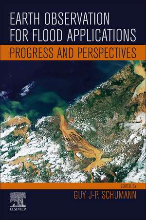
Earth Observation for Flood Applications: Progress and Perspectives: Earth Observation
Editat de Guy J-P. Schumannen Limba Engleză Paperback – 27 mai 2021
- Focuses in on one specific application field of Earth Observation
- Brings the latest scientific advances and perspectives from experts around the world
- Includes extensive figures, tables, and case studies to illustrate real-life applications
Preț: 802.53 lei
Preț vechi: 1051.49 lei
-24% Nou
Puncte Express: 1204
Preț estimativ în valută:
153.57€ • 164.21$ • 128.04£
153.57€ • 164.21$ • 128.04£
Carte tipărită la comandă
Livrare economică 10-24 aprilie
Preluare comenzi: 021 569.72.76
Specificații
ISBN-13: 9780128194126
ISBN-10: 012819412X
Pagini: 385
Ilustrații: 150 illustrations (120 in full color)
Dimensiuni: 152 x 229 mm
Greutate: 0.52 kg
Editura: ELSEVIER SCIENCE
Seria Earth Observation
ISBN-10: 012819412X
Pagini: 385
Ilustrații: 150 illustrations (120 in full color)
Dimensiuni: 152 x 229 mm
Greutate: 0.52 kg
Editura: ELSEVIER SCIENCE
Seria Earth Observation
Public țintă
Hydrology (in general), Remote Sensing, Flood risk management, Planning, Flood responseCuprins
Section 1. Monitoring and Modeling Flood Processes and Hazards
1. Earth Observation for Flood Applications: Progress and Perspectives
2. An Automatic System for Near-Real Time Flood Extent and Duration Mapping Based on Multi-Sensor Satellite Data
3. Flood Mapping with Passive Microwave Remote Sensing: Current Capabilities and Directions for Future Development
4. River Flood Modeling and Remote Sensing Across Scales: Lessons from Brazil
5. Using the Surface Water and Ocean Topography Mission Data to Estimate River Bathymetry and Channel Roughness
Section 2. Estimating Flood Exposure, Damage and Risk
6. From Cloud to Refugee Camp: A Satellite-Based Flood Analytics Case-Study in Congo-Brazzaville
7. DFO—Flood Observatory
8. How Earth Observation Informs the Activities of the Re/Insurance Industry on Managing Flood Risk
9. Flood Detection and Monitoring with EO Data Tools and Systems
Section 3. Emerging Applications and Challenges
10. Emerging Remote Sensing Technologies for Flood Applications
11. Earth Observations for Anticipatory Action: Case Studies in Hydrometeorological Hazards
12. Earth Observation and Hydraulic Data Assimilation for Improved Flood Inundation Forecasting
13. Artificial Intelligence for Flood Observation
14. The Full Potential of EO for Flood Applications: Managing Expectations
15. Emerging Techniques in Machine Learning for Processing Satellite Images of Floods
16. Merged AMSR-E/AMSR-2 and GPM Passive Microwave Radiometry for Measuring River Floods, Runoff, and Ice Cover


