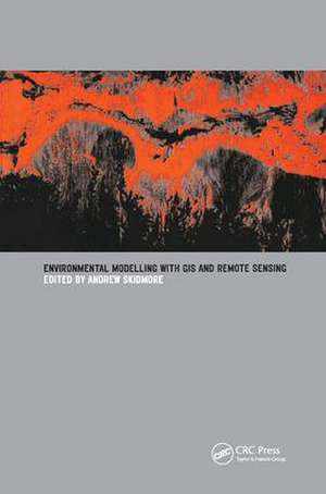
Environmental Modelling with GIS and Remote Sensing
Editat de Andrew Skidmoreen Limba Engleză Hardback – 11 aug 2017
Environmental Modeling with GIS and Remote Sensing derives from a training course run by ITC for professionals and managers in the environmental sciences, detailing the applications of remote sensing and GIS for environmental modeling and assessment. It sets out the current research results and provides operational methods for environmental mapping and monitoring.
| Toate formatele și edițiile | Preț | Express |
|---|---|---|
| Paperback (1) | 611.89 lei 43-57 zile | |
| CRC Press – 14 feb 2002 | 611.89 lei 43-57 zile | |
| Hardback (1) | 1016.36 lei 43-57 zile | |
| CRC Press – 11 aug 2017 | 1016.36 lei 43-57 zile |
Preț: 1016.36 lei
Preț vechi: 1442.85 lei
-30% Nou
Puncte Express: 1525
Preț estimativ în valută:
194.48€ • 203.60$ • 160.92£
194.48€ • 203.60$ • 160.92£
Carte tipărită la comandă
Livrare economică 07-21 aprilie
Preluare comenzi: 021 569.72.76
Specificații
ISBN-13: 9781138430594
ISBN-10: 1138430595
Pagini: 288
Dimensiuni: 156 x 234 x 24 mm
Greutate: 0.54 kg
Ediția:1
Editura: CRC Press
Colecția CRC Press
ISBN-10: 1138430595
Pagini: 288
Dimensiuni: 156 x 234 x 24 mm
Greutate: 0.54 kg
Ediția:1
Editura: CRC Press
Colecția CRC Press
Public țintă
ProfessionalCuprins
Introduction. Taxonomy of Environmental Models in the Spatial Sciences. New Environmental Remote Sensing Systems. Geographic Data for Environmental Modeling and Assessment. The Biosphere: A Global Perspective. Vegetation Mapping and Monitoring, Applications of Remote Sensing and Geographic Information Systems in Wildlife Mapping and Modeling. Biodiversity Mapping and Modeling. Approaches to Spatially Distributed Hydrological Modeling in a GIS Environment. Remote Sensing and Geographic Information Systems for Natural Disaster Management. Land Use Planning and Environmental Impact Assessment Using Geographic Information Systems.
Notă biografică
Andrew Skidmore (I.T.C., The Netherlands)
Descriere
This text derives from a training course for professionals and managers in the environmental sciences, detailing the applications of remote sensing and Geographical Information Systems (GIS) for environmental modelling and assessment. It sets out research results and provides operational methods.
