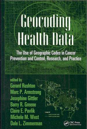
Geocoding Health Data: The Use of Geographic Codes in Cancer Prevention and Control, Research and Practice
Editat de Gerard Rushton, Marc P. Armstrong, Josephine Gittler, Barry R. Greene, Claire E. Pavlik, Michele M. West, Dale L. Zimmermanen Limba Engleză Hardback – 19 noi 2007
Geocoding Health Data presents a state-of-the-art discussion on the current technical and administrative developments in geographic information science. In particular, it discusses how geocoded residential addresses can be used to examine the spatial patterns of cancer incidence, staging, survival, and mortality.
The book begins with an introduction of various codes and their uses, including census geographic, health area, and street level codes. It goes on to describe the specific application of geocodes to cancer, detailing methods, materials, and technical issues. The text illustrates how to compile data maps for analysis and addresses issues, such as mismatch correction and data quality. It describes the current state of geocoding practices and discusses the use of individually geocoded cancer incidences in spatial epidemiology, distance estimation and spatial accessibilities, and tips for handling non-geocoded cases. Special consideration is given to privacy and confidentiality issues by focusing on disclosure limitation methods.
With recent disease outbreaks and escalating concerns about bioterrorism, interest in the application of GIS to individual data is growing. The fundamental concepts presented by this book are of great value to anyone trying to understand the causes, prevention, and control of cancer as well as a variety of other diseases.
| Toate formatele și edițiile | Preț | Express |
|---|---|---|
| Paperback (1) | 489.26 lei 6-8 săpt. | |
| CRC Press – 11 sep 2019 | 489.26 lei 6-8 săpt. | |
| Hardback (1) | 765.01 lei 6-8 săpt. | |
| CRC Press – 19 noi 2007 | 765.01 lei 6-8 săpt. |
Preț: 765.01 lei
Preț vechi: 1027.89 lei
-26% Nou
Puncte Express: 1148
Preț estimativ în valută:
146.40€ • 152.28$ • 120.86£
146.40€ • 152.28$ • 120.86£
Carte tipărită la comandă
Livrare economică 14-28 aprilie
Preluare comenzi: 021 569.72.76
Specificații
ISBN-13: 9780849384196
ISBN-10: 0849384192
Pagini: 256
Ilustrații: 51 b/w images, 30 tables, 25 halftones and 20 equations
Dimensiuni: 156 x 234 mm
Greutate: 0.5 kg
Ediția:New.
Editura: CRC Press
Colecția CRC Press
ISBN-10: 0849384192
Pagini: 256
Ilustrații: 51 b/w images, 30 tables, 25 halftones and 20 equations
Dimensiuni: 156 x 234 mm
Greutate: 0.5 kg
Ediția:New.
Editura: CRC Press
Colecția CRC Press
Public țintă
Academic and Professional Practice & DevelopmentCuprins
Introduction. Geocoding Cancer: Methods, Materials, and Technical Issues. The Science and Art of Geocoding: Tips for Handling Non-Geocoded Cases. Use of Individually Geocoded Cancer Incidence in Spatial Epidemiology. Distance Estimation and Spatial Accessibility. Cancer Registries: What are Current Geocoding Practices? Alternative Techniques for Masking Geographic Detail to Protect Privacy. Future Geocoding Practices, Disclosure Limitation. Conclusions.
Notă biografică
Gerard Rushton, Marc P. Armstrong, Josephine Gittler, Barry R. Greene, Claire E. Pavlik, Michele M. West, Dale L. Zimmerman
Descriere
With recent disease outbreaks and concerns about bioterrorism, interest in the application of GIS to individual level data has grown. Geocoding Health Data discusses recent technical and administrative developments in geographic information science that will affect the future practice of geocoding. This book examines how geocoded residential addresses can be used to examine the spatial patterns of cancer incidence, staging, survival, and mortality. It also explores how privacy and confidentiality issues can be addressed by focusing on disclosure limitation methods while simultaneously enabling the use of more accurate spatial data on disease distributions.
