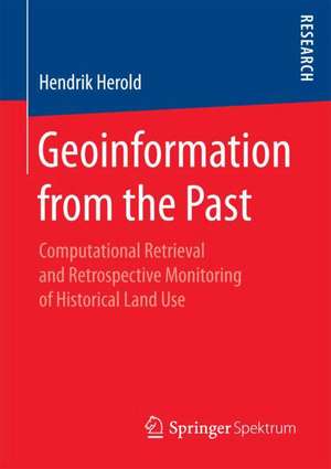
Geoinformation from the Past: Computational Retrieval and Retrospective Monitoring of Historical Land Use
Autor Hendrik Herolden Limba Engleză Paperback – 19 ian 2018
Preț: 381.59 lei
Nou
Puncte Express: 572
Preț estimativ în valută:
73.02€ • 79.56$ • 61.53£
73.02€ • 79.56$ • 61.53£
Carte tipărită la comandă
Livrare economică 23 aprilie-07 mai
Preluare comenzi: 021 569.72.76
Specificații
ISBN-13: 9783658205690
ISBN-10: 3658205695
Pagini: 192
Ilustrații: XXIV, 192 p. 49 illus., 5 illus. in color.
Dimensiuni: 148 x 210 mm
Greutate: 0.26 kg
Ediția:1st ed. 2018
Editura: Springer Fachmedien Wiesbaden
Colecția Springer Spektrum
Locul publicării:Wiesbaden, Germany
ISBN-10: 3658205695
Pagini: 192
Ilustrații: XXIV, 192 p. 49 illus., 5 illus. in color.
Dimensiuni: 148 x 210 mm
Greutate: 0.26 kg
Ediția:1st ed. 2018
Editura: Springer Fachmedien Wiesbaden
Colecția Springer Spektrum
Locul publicării:Wiesbaden, Germany
Cuprins
Monitoring and Modeling Land Change.- Geoinformation from Digital Images.- An Adaptive Map Image Analysis Approach.- Modeling Uncertainty for Change Analysis.
Notă biografică
Hendrik Herold holds a doctoral degree from Dresden University of Technology, Germany, where he studied Geography, Geology, and Meteorology.
Textul de pe ultima copertă
Hendrik Herold explores potentials and hindrances of using retrospective geoinformation for monitoring, communicating, modeling, and eventually understanding the complex and gradually evolving processes of land cover and land use change. Based on a comprehensive review of literature, available data sets, and suggested algorithms, the author proposes approaches for the two major challenges: To address the diversity of geographical entity representations over space and time, image segmentation is considered a global non-linear optimization problem, which is solved by applying a metaheuristic algorithm. To address the uncertainty inherent to both the data source itself as well as its utilization for change detection, a probabilistic model is developed. Experimental results demonstrate the capabilities of the methodology, e.g., for geospatial data science and earth system modeling.Contents
Hendrik Herold holds a doctoral degree from Dresden University of Technology, Germany, where he studied Geography, Geology, and Meteorology.
- Monitoring and Modeling Land Change
- Geoinformation from Digital Images
- An Adaptive Map Image Analysis Approach
- Modeling Uncertainty for Change Analysis
- Researchers, lecturers, and students from the fields of geoscience, geography, urban and landscape ecology, land change science, earth system science, digital humanities
- Town and country planners, map librarians, historians
Hendrik Herold holds a doctoral degree from Dresden University of Technology, Germany, where he studied Geography, Geology, and Meteorology.
Caracteristici
Publication in the field of natural sciences
