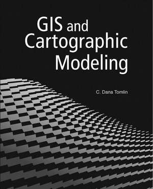
GIS and Cartographic Modeling
Autor C. Dana Tomlinen Limba Engleză Paperback – 4 oct 2012
GIS and Cartographic Modeling is a foundational work in the field of geographic information systems (GIS). An introduction to the concepts, conventions, and capabilities of map algebra as a general language, this book describes the analytical use of raster-based GIS. By focusing on the fundamentals of cartographic modeling techniques, C. Dana Tomlin illustrates concepts that can be applied to any GIS. This publication of GIS and Cartographic Modeling contains updated graphics and a new preface.
Preț: 391.85 lei
Preț vechi: 461.00 lei
-15% Nou
Puncte Express: 588
Preț estimativ în valută:
74.99€ • 81.43$ • 62.99£
74.99€ • 81.43$ • 62.99£
Carte disponibilă
Livrare economică 01-15 aprilie
Preluare comenzi: 021 569.72.76
Specificații
ISBN-13: 9781589483095
ISBN-10: 158948309X
Pagini: 182
Ilustrații: 116
Dimensiuni: 204 x 255 x 15 mm
Greutate: 0.64 kg
Editura: Esri Press
ISBN-10: 158948309X
Pagini: 182
Ilustrații: 116
Dimensiuni: 204 x 255 x 15 mm
Greutate: 0.64 kg
Editura: Esri Press
Cuprins
Preface
Preface to the 2012 edition
Introduction
Part I Cartographic modeling conventions
Chapter 1 Data
Chapter 2 Data processing
Chapter 3 Data-processing control
Part II Cartographic modeling capabilities
Chapter 4 Characterizing individual locations
Chapter 5 Characterizing locations within neighborhoods
Chapter 6 Characterizing locations within zones
Part III Cartographic modeling techniques
Chapter 7 Descriptive modeling
Chapter 8 Prescriptive modeling
Appendix Cartographic modeling operations
Index
Notă biografică
C. Dana Tomlin is a professor of landscape architecture at the University of Pennsylvania School of Design and an adjunct professor of GIS at the Yale School of Forestry and Environmental Studies. He is founder and co-director of Penn's Cartographic Modeling Laboratory. Tomlin is a recipient of the Perkins and the Lindback awards for distinguished teaching.
Descriere
A foundational work in the field of geographic information systems (GIS) thatintroduces the concepts, conventions, and capabilities of map algebra systemsas a general language, and the analytical use of raster-based GIS.
