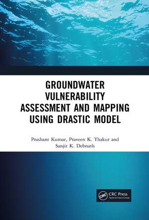
Groundwater Vulnerability Assessment and Mapping using DRASTIC Model
Autor Prashant Kumar, Praveen Thakur, Sanjit Debnathen Limba Engleză Paperback – 30 iun 2021
Exclusive title covering effectiveness of DRASTIC model for groundwater vulnerability assessment
Reviews of the strengths and limitations of assessment methods
Presents multi-criteria evaluation of hydro-geological and anthropogenic factors
Discusses integration with geographic information system (GIS) and remote sensing (RS)
Includes application of groundwater governance framework with a case study study of a geographical setting
| Toate formatele și edițiile | Preț | Express |
|---|---|---|
| Paperback (1) | 424.60 lei 6-8 săpt. | |
| CRC Press – 30 iun 2021 | 424.60 lei 6-8 săpt. | |
| Hardback (1) | 875.55 lei 6-8 săpt. | |
| CRC Press – 12 iul 2019 | 875.55 lei 6-8 săpt. |
Preț: 424.60 lei
Nou
Puncte Express: 637
Preț estimativ în valută:
81.24€ • 85.28$ • 67.44£
81.24€ • 85.28$ • 67.44£
Carte tipărită la comandă
Livrare economică 10-24 aprilie
Preluare comenzi: 021 569.72.76
Specificații
ISBN-13: 9781032091501
ISBN-10: 1032091509
Pagini: 120
Ilustrații: 34 Illustrations, black and white
Dimensiuni: 156 x 234 x 6 mm
Greutate: 0.18 kg
Ediția:1
Editura: CRC Press
Colecția CRC Press
ISBN-10: 1032091509
Pagini: 120
Ilustrații: 34 Illustrations, black and white
Dimensiuni: 156 x 234 x 6 mm
Greutate: 0.18 kg
Ediția:1
Editura: CRC Press
Colecția CRC Press
Cuprins
1.Introduction 2.Assessment of Effectiveness of Drastic Model 3.Multi-Criteria Evaluation of Hydrogeological and Anthropogenic Parameters 4.Groundwater Governance 5.References
Notă biografică
Prashant Kumar is a Scientist in Central Scientific Instruments Organisation, Chandigarh which is a national laboratory under Council of Scientific and Industrial Research, Govt. of India. He is also an Honorary Assistant Professor in Academy of Scientific & Innovative Research. He holds BTech. in Computer Science & Engineering from Manipal Institute of Technology, Manipal, Udupi, Karnataka, MTech. in Advanced Instrumentation Engineering from AcSIR and PhD In Water Resource Management from AcSIR. He has been a PGRPE (Post Graduate Research Programme in Engineering) fellow of CSIR, India. His research interests are groundwater modelling, image processing, remote sensing and environmental sciences.
Praveen K. Thakur is a Scientist (S/F) in ISRO- Indian Institute of Remote Sensing, Deharadun under Department of Space, Govt. of India. He is a BTech in Civil Engineering from NIT Hamirpur, MTech in Water Resources from IIT Delhi and holds a PhD from Indian Institute of Technology, Roorkee. His research interest are snow and flood hydrology, hydrological Modelling, Planetary Remote Sensing. He has been a member of Mars Exploration Program Analysis Group (MEPAG). He has been ISRO Young Scientist Awardee in 2017.
Sanjit K. Debnath is a Scientist in Central Scientific Instruments Organisation, Chandigarh under Council of Scientific and Industrial Research. He is a PhD from Indian Institute of Technology, Madras. He is also an Honorary Assistant Professor in Academy of Scientific and Innovative Research, New Delhi, India. His research interest are optical instrumentation, digital holography and remote sensing.
Descriere
The book focuses on the effectiveness of DRASTIC model in a geographical setting for validation of vulnerable zones and presents the optimization of parameters for the development of precise maps highlighting several zones with varied contamination.
