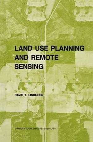
Land use planning and remote sensing: Remote Sensing of Earth Resources and Environment, cartea 2
Autor D. Lindgrenen Limba Engleză Paperback – 30 dec 2010
| Toate formatele și edițiile | Preț | Express |
|---|---|---|
| Paperback (1) | 552.06 lei 38-44 zile | |
| SPRINGER NETHERLANDS – 30 dec 2010 | 552.06 lei 38-44 zile | |
| Hardback (1) | 642.36 lei 6-8 săpt. | |
| SPRINGER NETHERLANDS – 31 dec 1984 | 642.36 lei 6-8 săpt. |
Preț: 552.06 lei
Preț vechi: 690.07 lei
-20% Nou
Puncte Express: 828
Preț estimativ în valută:
105.65€ • 109.14$ • 87.93£
105.65€ • 109.14$ • 87.93£
Carte tipărită la comandă
Livrare economică 22-28 martie
Preluare comenzi: 021 569.72.76
Specificații
ISBN-13: 9789048182848
ISBN-10: 9048182840
Pagini: 192
Ilustrații: XI, 176 p.
Dimensiuni: 155 x 235 x 10 mm
Ediția:Softcover reprint of hardcover 1st ed. 1985
Editura: SPRINGER NETHERLANDS
Colecția Springer
Seria Remote Sensing of Earth Resources and Environment
Locul publicării:Dordrecht, Netherlands
ISBN-10: 9048182840
Pagini: 192
Ilustrații: XI, 176 p.
Dimensiuni: 155 x 235 x 10 mm
Ediția:Softcover reprint of hardcover 1st ed. 1985
Editura: SPRINGER NETHERLANDS
Colecția Springer
Seria Remote Sensing of Earth Resources and Environment
Locul publicării:Dordrecht, Netherlands
Public țintă
ResearchCuprins
I. Principles of Remote Sensing.- 1. Introduction to Remote Sensing.- 2. Aerial Cameras, Filters, and Films.- 3. The Geometry of Aerial Photos.- 4. Fundamentals of Photointerpretation.- 5. How to Acquire Aerial Photos.- 6. The Landsat System.- II. Applications to Land Planning.- 7. Remote Sensing Input to Geographic Information Systems.- 8. Land Use/Land cover: Inventory and Change.- 9. Resource Preservation.- 10. Site Selection Issues.- 11. Population and Housing Data.- References.
