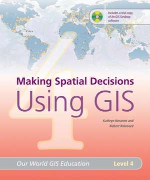
Making Spatial Decisions Using GIS, Level 4: Our World GIS Education
Autor Kathryn Keranen, Robert Kolvoorden Limba Engleză Alt format audio – 31 mai 2008
The fourth volume in the Our World GIS Education series features open-ended activities that stress the use of GIS in problem solving and decision making. This book encourages readers to investigate and answer questions, create their own analyses, and make decisions based on real-world concerns. Designed for high school and college students, the lessons build on the rich array of GIS tools available, enabling the students to perform sophisticated analyses. This book contains a student resources DVD with exercises and data and a software DVD with a 180-day trial of ArcView 9.2.
Preț: 197.60 lei
Preț vechi: 247.00 lei
-20% Nou
Puncte Express: 296
Preț estimativ în valută:
37.81€ • 39.48$ • 31.22£
37.81€ • 39.48$ • 31.22£
Indisponibil temporar
Doresc să fiu notificat când acest titlu va fi disponibil:
Se trimite...
Preluare comenzi: 021 569.72.76
Specificații
ISBN-13: 9781589481831
ISBN-10: 1589481836
Pagini: 186
Dimensiuni: 214 x 276 x 17 mm
Greutate: 0.65 kg
Ediția:ILL
Editura: ESRI Press
Colecția ESRI Press
Seria Our World GIS Education
ISBN-10: 1589481836
Pagini: 186
Dimensiuni: 214 x 276 x 17 mm
Greutate: 0.65 kg
Ediția:ILL
Editura: ESRI Press
Colecția ESRI Press
Seria Our World GIS Education
Descriere
The fourth volume in the Our World GIS Education series features open-ended activities that stress the use of GIS in problem solving and decision making. Designed for high school and college students, the lessons in this book build on the rich array of GIS tools available, enabling the students to perform sophisticated analyses in a variety of content areas. This book encourages readers to investigate and answer questions, create their own analyses, and make decisions based on real-world concerns.


