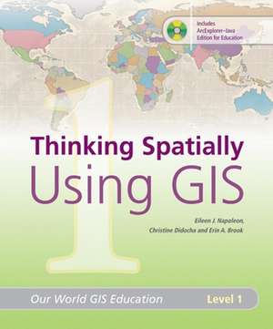
Thinking Spatially Using GIS: Our World GIS Education, Level 1: Our World GIS Education
Autor Eileen J. Napoleon, Erin A Brooken Limba Engleză Paperback – 31 mai 2008
Early exposure to geography, spatial thinking, and geographic information systems (GIS) helps students gain an understanding of the world around them. This work helps students improve their basic map-reading skills and extend those skills by analyzing and thinking critically about the data. Thinking Spatially Using GIS contains teacher materials, lesson plans, a resource CD with exercises, and ArcExplorer Java Edition for Education software.
Preț: 210.53 lei
Preț vechi: 263.15 lei
-20% Nou
Puncte Express: 316
Preț estimativ în valută:
40.28€ • 42.17$ • 33.33£
40.28€ • 42.17$ • 33.33£
Carte indisponibilă temporar
Doresc să fiu notificat când acest titlu va fi disponibil:
Se trimite...
Preluare comenzi: 021 569.72.76
Specificații
ISBN-13: 9781589481800
ISBN-10: 1589481801
Pagini: 120
Dimensiuni: 214 x 275 x 33 mm
Greutate: 1.4 kg
Ediția:ILL
Editura: ESRI Press
Colecția ESRI Press
Seria Our World GIS Education
ISBN-10: 1589481801
Pagini: 120
Dimensiuni: 214 x 275 x 33 mm
Greutate: 1.4 kg
Ediția:ILL
Editura: ESRI Press
Colecția ESRI Press
Seria Our World GIS Education
Descriere
Early exposure to geography, spatial thinking, and geographic information systems (GIS), helps students gain an understanding of the world around them. With the first volume in the Our World GIS Education series, teachers and students use tools of geography maps, geographic data, and GIS to progress from a basic understanding of spatial concepts toward recognizing patterns and analyzing map trends. Students reinforce and improve their basic map-reading skills and extend those skills as the book prompts them to analyze and think critically about the data.


