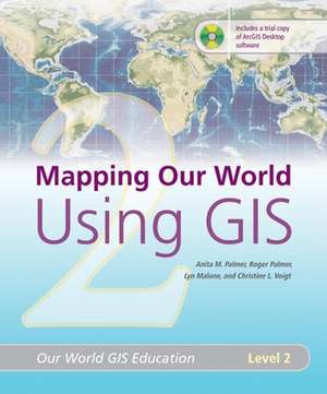
Mapping Our World Using GIS: Our World GIS Education, Level 2: Our World GIS Education
Autor Anita M. Palmer, Roger Palmer, Lyn Malone, Christine L Voigten Limba Engleză Paperback – 31 mai 2008
A follow-up to "Mapping Our World: GIS Lessons for Educators," this second volume of the Our World GIS Education series contains updated materials and lessons that combine geography, data collection, mapping, and critical analysis to guide educators and students through course content in new ways. Ideal for novice and seasoned GIS users alike, Mapping Our World Using GIS includes lesson plans, step-by-step instructions, important questions and answers, a teacher resource CD, and a 180-day tiral license of ArcView 9.2, complete with a supporting Web site.
Preț: 216.41 lei
Preț vechi: 270.50 lei
-20% Nou
Puncte Express: 325
Preț estimativ în valută:
41.41€ • 42.41$ • 34.45£
41.41€ • 42.41$ • 34.45£
Carte indisponibilă temporar
Doresc să fiu notificat când acest titlu va fi disponibil:
Se trimite...
Preluare comenzi: 021 569.72.76
Specificații
ISBN-13: 9781589481817
ISBN-10: 158948181X
Pagini: 200
Dimensiuni: 217 x 274 x 40 mm
Greutate: 1.74 kg
Ediția:ILL
Editura: ESRI Press
Colecția ESRI Press
Seria Our World GIS Education
ISBN-10: 158948181X
Pagini: 200
Dimensiuni: 217 x 274 x 40 mm
Greutate: 1.74 kg
Ediția:ILL
Editura: ESRI Press
Colecția ESRI Press
Seria Our World GIS Education
Descriere
A follow-up to Mapping Our World: GIS Lessons for Educators, this second volume in the Our World GIS Education series contains updated materials and lessons that combine geography, data collection, mapping, and critical analysis to guide educators and students through course content in new ways. Students acquire and continue building broad-based problem-solving skills as the lessons progress. Ideal for novice and seasoned GIS users alike, Mapping Our World Using GIS contains 13 GIS lesson plans, step-by-step instructions, illustrations, answers to important questions, data, a Teacher Resource CD, and a one-year evaluation copy of ArcGIS ArcView software for the Windows platforms, complete with a supporting Web site.


