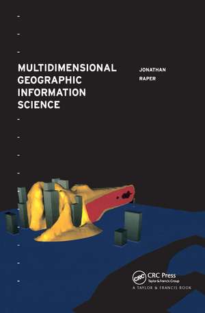
Multidimensional Geographic Information Science
Autor Jonathan Raperen Limba Engleză Hardback – 23 noi 2000
This forward-looking text, looks at the ways in which 3- and 4-dimensional (multidimensional) GIS can be incorporated into the area in the future using a variety of programming techniques. The author of this unique book also discusses current examples and uses of multidimensional GIS in the field and shows the way forward for users in the coming years.
| Toate formatele și edițiile | Preț | Express |
|---|---|---|
| Paperback (1) | 412.67 lei 6-8 săpt. | |
| CRC Press – 23 noi 2000 | 412.67 lei 6-8 săpt. | |
| Hardback (1) | 851.82 lei 6-8 săpt. | |
| CRC Press – 23 noi 2000 | 851.82 lei 6-8 săpt. |
Preț: 851.82 lei
Preț vechi: 1218.22 lei
-30% Nou
Puncte Express: 1278
Preț estimativ în valută:
163.01€ • 177.01$ • 136.93£
163.01€ • 177.01$ • 136.93£
Carte tipărită la comandă
Livrare economică 22 aprilie-06 mai
Preluare comenzi: 021 569.72.76
Specificații
ISBN-13: 9780748405060
ISBN-10: 0748405062
Pagini: 320
Dimensiuni: 156 x 234 x 21 mm
Greutate: 0.68 kg
Ediția:1
Editura: CRC Press
Colecția CRC Press
ISBN-10: 0748405062
Pagini: 320
Dimensiuni: 156 x 234 x 21 mm
Greutate: 0.68 kg
Ediția:1
Editura: CRC Press
Colecția CRC Press
Public țintă
UndergraduateCuprins
1. Critique of Two Dimensional GIS 2. Concepts of Space 3. 3D and 4D Spatial Represenations 4. Multimedia and VR Spatial Representation 5. Multidimensional Represenation in Geographic Space 6. Hypermedia Structuring of Geographic Information 7. Handling Dynamic Geographic Phenomena Using Georeferenced Multimedia 8. Creating Georeferenced Virtual Worlds 9. Three Dimensional Modelling of Geoscience Phenomena 10. Spatio-temporal Exploratory Data Analysis
Descriere
Geographic Information Systems mainly tend to be two dimensional, thus limiting the applications. As GIS are being developed, researchers and practioners are finding new ways of making GIS three dimensional, even four dimensional in some instances, increasing their usability. This book focuses on the way in which GIS could be made `multidimensional' based on the modelling limitations of current 2D GIS. It suggests extending GIS to incorporate the third and fourth dimensions, as well as time (spatio-temporal GIS), using a variety of programming techniques and discusses current examples of multidimensional GIS.
There is currently no other book that deals with multidimensional GIS in this way and the renowned author is at the cutting edge of research.
There is currently no other book that deals with multidimensional GIS in this way and the renowned author is at the cutting edge of research.
