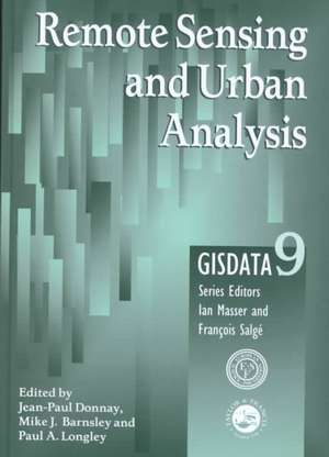
Remote Sensing and Urban Analysis: GISDATA 9
Editat de Jean-Paul Donnay, Mike J. Barnsley, Paul A. Longleyen Limba Engleză Hardback – 21 dec 2000
This up-to-date analysis of the area looks at a wide range of methodologies currently being used to produce and analyse remotely sensed data of urban areas. The authors examine the various techniques used to extract information from digital, multispectral images of urban areas. Donnay and Barnsley then go on to look at the identification of urban forms, the delineation of agglomerations and the development of urban morphology, considering the analysis of integrated data sets and surface models and going on to look at the estimation of human population levels.
| Toate formatele și edițiile | Preț | Express |
|---|---|---|
| Paperback (1) | 372.29 lei 43-57 zile | |
| CRC Press – 4 noi 2019 | 372.29 lei 43-57 zile | |
| Hardback (1) | 992.28 lei 43-57 zile | |
| CRC Press – 21 dec 2000 | 992.28 lei 43-57 zile |
Preț: 992.28 lei
Preț vechi: 1332.01 lei
-26% Nou
Puncte Express: 1488
Preț estimativ în valută:
189.87€ • 198.77$ • 157.11£
189.87€ • 198.77$ • 157.11£
Carte tipărită la comandă
Livrare economică 07-21 aprilie
Preluare comenzi: 021 569.72.76
Specificații
ISBN-13: 9780748408603
ISBN-10: 0748408606
Pagini: 304
Dimensiuni: 166 x 240 x 20 mm
Greutate: 0.75 kg
Ediția:1
Editura: CRC Press
Colecția CRC Press
ISBN-10: 0748408606
Pagini: 304
Dimensiuni: 166 x 240 x 20 mm
Greutate: 0.75 kg
Ediția:1
Editura: CRC Press
Colecția CRC Press
Public țintă
Academic and Professional Practice & DevelopmentCuprins
Authors' Preface; 1. Urban Remote Sensing: State of the Art and Issues 2. Improving Spatial Resolution of Images by Means of Sensor Fusion. A General Solution: The ARSIS Method 3. Enhancement to per Pixel Image Classification Techniques 4. Image Segmentation Methodology in the Urban Environment 5. Inferring Urban Land Use and Structure Using Syntactic Pattern Recognition 6. Urban Pattern Characterisation Through Geostatistical Analysis of Satellite Images 7. Remote Sensing Data Used for Urban Agglomeration Delimitation 8. Measuring and Modelling Urban Morphology 9. Recognizing Settlement Structure Using Mathematical Morphology and Image Texture Measures 10. Modelling Geographical Distribution in Urban Areas 11. A Method for the Geographical Analysis of the Population of the Fast-growing Cities in the Third World 12. Conclusions
Notă biografică
Jean-Paul Donnay, Michael J. Barnsley, Paul A. Longley
Descriere
This book outlines a range of methods for the production and analysis of urban remote sensing data. These include improvements to per-pixel image classification algorithms, various methods of image fusion, syntactic pattern recognition techniques, the role of mathematical morphology, and geostatistical approaches to the analysis and interpretation of textural and spatial image patterns. The book covers the identification of urban forms, the delineation of agglomerations, and the measurement of urban morphology. Surface models are considered for the analysis of integrated data sets, in which the scope of the applications is widened to consider the estimation of human population levels.
