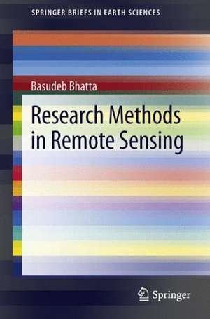
Research Methods in Remote Sensing: SpringerBriefs in Earth Sciences
Autor Basudeb Bhattaen Limba Engleză Paperback – 30 apr 2013
Din seria SpringerBriefs in Earth Sciences
-
 Preț: 380.25 lei
 -
 Preț: 378.12 lei
 -
 Preț: 290.09 lei
 -
 Preț: 477.72 lei
 -
 Preț: 381.98 lei
 -
 Preț: 355.07 lei
 -
 Preț: 355.37 lei
 -
 Preț: 351.90 lei
 -
 Preț: 381.21 lei
 -
 Preț: 377.35 lei
 -
 Preț: 342.44 lei
 -
 Preț: 343.98 lei
 - 20%
 Preț: 389.07 lei
 -
 Preț: 378.92 lei
 -
 Preț: 375.62 lei
 -
 Preț: 379.68 lei
 -
 Preț: 378.12 lei
 -
 Preț: 377.18 lei
 -
 Preț: 443.75 lei
 -
 Preț: 378.54 lei
 -
 Preț: 380.07 lei
 -
 Preț: 376.96 lei
 -
 Preț: 379.09 lei
 - 15%
 Preț: 464.18 lei
 -
 Preț: 376.96 lei
 -
 Preț: 348.01 lei
 -
 Preț: 379.48 lei
 -
 Preț: 375.07 lei
 -
 Preț: 477.94 lei
 -
 Preț: 376.22 lei
 -
 Preț: 349.41 lei
 -
 Preț: 381.00 lei
 - 15%
 Preț: 463.35 lei
 -
 Preț: 376.22 lei
 -
 Preț: 376.96 lei
 -
 Preț: 446.47 lei
 -
 Preț: 346.62 lei
 -
 Preț: 379.68 lei
 -
 Preț: 373.32 lei
 -
 Preț: 377.95 lei
 -
 Preț: 377.57 lei
 -
 Preț: 390.82 lei
 -
 Preț: 375.45 lei
 -
 Preț: 377.73 lei
 -
 Preț: 376.04 lei
 -
 Preț: 377.18 lei
Preț: 379.09 lei
Nou
Puncte Express: 569
Preț estimativ în valută:
72.54€ • 74.95$ • 60.34£
72.54€ • 74.95$ • 60.34£
Carte tipărită la comandă
Livrare economică 19 martie-02 aprilie
Preluare comenzi: 021 569.72.76
Specificații
ISBN-13: 9789400765931
ISBN-10: 9400765932
Pagini: 120
Ilustrații: XIII, 125 p. 5 illus., 3 illus. in color.
Dimensiuni: 155 x 235 x 12 mm
Greutate: 0.2 kg
Ediția:2013
Editura: SPRINGER NETHERLANDS
Colecția Springer
Seria SpringerBriefs in Earth Sciences
Locul publicării:Dordrecht, Netherlands
ISBN-10: 9400765932
Pagini: 120
Ilustrații: XIII, 125 p. 5 illus., 3 illus. in color.
Dimensiuni: 155 x 235 x 12 mm
Greutate: 0.2 kg
Ediția:2013
Editura: SPRINGER NETHERLANDS
Colecția Springer
Seria SpringerBriefs in Earth Sciences
Locul publicării:Dordrecht, Netherlands
Public țintă
ResearchCuprins
1. Introduction to Remote Sensing and Research.- 2. Research Framework.- 3. Collection of Data.- 4 . Analysis of Data.- 5. Research Design.- 6. Power, Politics, and Ethics in Research.- Index.
Notă biografică
Basudeb Bhatta has a Ph.D. in Engineering, a M.Sc. in Remote Sensing and Geographic Information Systems, a B.Sc. in Geoinformatics and a Diploma in Mechanical Engineering. He is currently Course Coordinator in the Computer Aided Design Centre of Jadavpur University, Kolkata. He has more than 17 years of industrial, teaching and research experience in remote sensing, GNSS, and GIS. He has authored many research papers and articles in various journals and magazines. He has also authored several textbooks and monographs on Remote Sensing, GIS, GNSS, and CAD. He has been involved in a large number of courses on Remote Sensing and GIS to promote Geoinformatics technology.
